What is recorded here
Situated on a slight E-W ridge in a low-lying landscape. The parish church of Derrypatrick (ME043-010----) is within a D-shaped graveyard (dims c. 28m NE-SW; c. 28m NW-SE) which has straight sides at SE where there is a NE-SW public road, and at SW. It is defined by masonry walls on every side except the SW where there is an earthen bank or scarp, which suggests that it may have been truncated on this side. The bullaun stone (ME043-010002-) and some pieces from ogee-headed windows are in the graveyard, while the few headstones are of 18th and 19th century date.
Compiled by: Michael Moore
Date of revised upload: 23 March, 2015
The monument record does not grant public access. Check the route and ask the landowner before entering private land.
- What survives
- Recorded monument
Places near here
 Church (in Ruins)Church · 10 yd
 IndicatedBawn · 99 yd
 Fulacht fia in ArodstownFulacht fia · 1221 yd
 CastleCastle, unclassified · 1384 yd
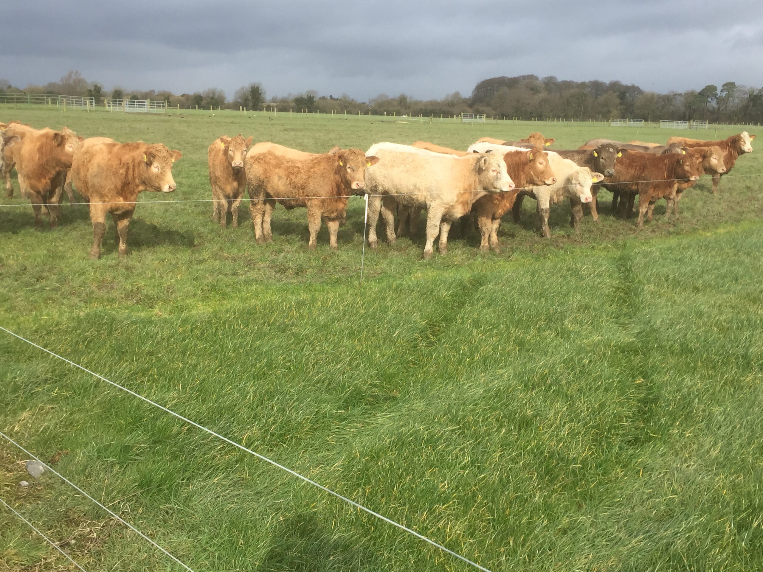 Derrypatrick RathEnclosure · 1544 yd
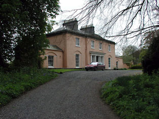 Galtrim Housecountry house · 1.4 mi
 Railway Woods (North)Forest · 2.5 mi
 Dunsany WoodWood · 2.6 mi
 MullaghMountain / peak · 3.6 mi
 1798 MemorialMemorial · 4.3 mi
 Larchil Arcadian GardensHeritage attraction · 4.4 mi
 Lismahon 1798 MemorialMonument · 5.8 mi