
What is recorded here
Situated on a slight E-W ridge in a low-lying landscape. A church at Kiltale and Derrypatrick is listed in the ecclesiastical taxation (1302-04) of Pope Nicholas IV, (Cal. doc. Ire., 5, 255). The church was amongst the possessions of St Thomas’ Augustinian abbey (DU018-020051-) in 1540 (White 1943, 31). Ussher (1622) describes the church at Dirpatricke as reasonably repaired but the chancel as a ruin (Erlington 1847-64, 1, lxxx). According to the Dopping (1682-5) and Royal (1693) visitations the walls of the church and chancel of St Patrick’s were still standing but it had been unroofed since 1641 (Ellison 1972, 5). The parish church is within a D-shaped graveyard (dims c. 28m NE-SW; c. 28m NW-SE) with straight sides at SE where there is a NE-SW public road, and SW. It is defined by masonry walls on every side except the SW where there is an earthen bank or scarp, which suggests that it may have been truncated on this side. The few headstones are of 18th and 19th century date.
The grass covered foundations of a divided nave (int. dims 14.75m E-W; 5.95m N-S) and chancel (int. dims 6.25m E-W; W 5.3m N-S) church survive as wall-footings, a scarp, or a low grass-covered bank (Wth 2m; H 0.4-0.7m). A bullaun stone (dims 0.55m x 0.55m; H 0.26m plus) with a single basin (diam. 0.31m; D 0.22m) is set in the ground in the chancel. There is a spandrel from an ogee-headed window in the graveyard and two similar pieces are set in the graveyard wall at the roadside beside the gate.
The above description is derived from the published 'Archaeological Inventory of County Meath' (Dublin: Stationery Office, 1987). In certain instances the entries have been revised and updated in the light of recent research.
Compiled by: Michael Moore
Date of revision: 23 March, 2015
A local church or high cross; wider significance not recorded.
The monument record does not grant public access. Check the route and ask the landowner before entering private land.
- What survives
- Recorded monument
Places near here
 IndicatedBawn · 108 yd
 Fulacht fia in ArodstownFulacht fia · 1223 yd
 CastleCastle, unclassified · 1394 yd
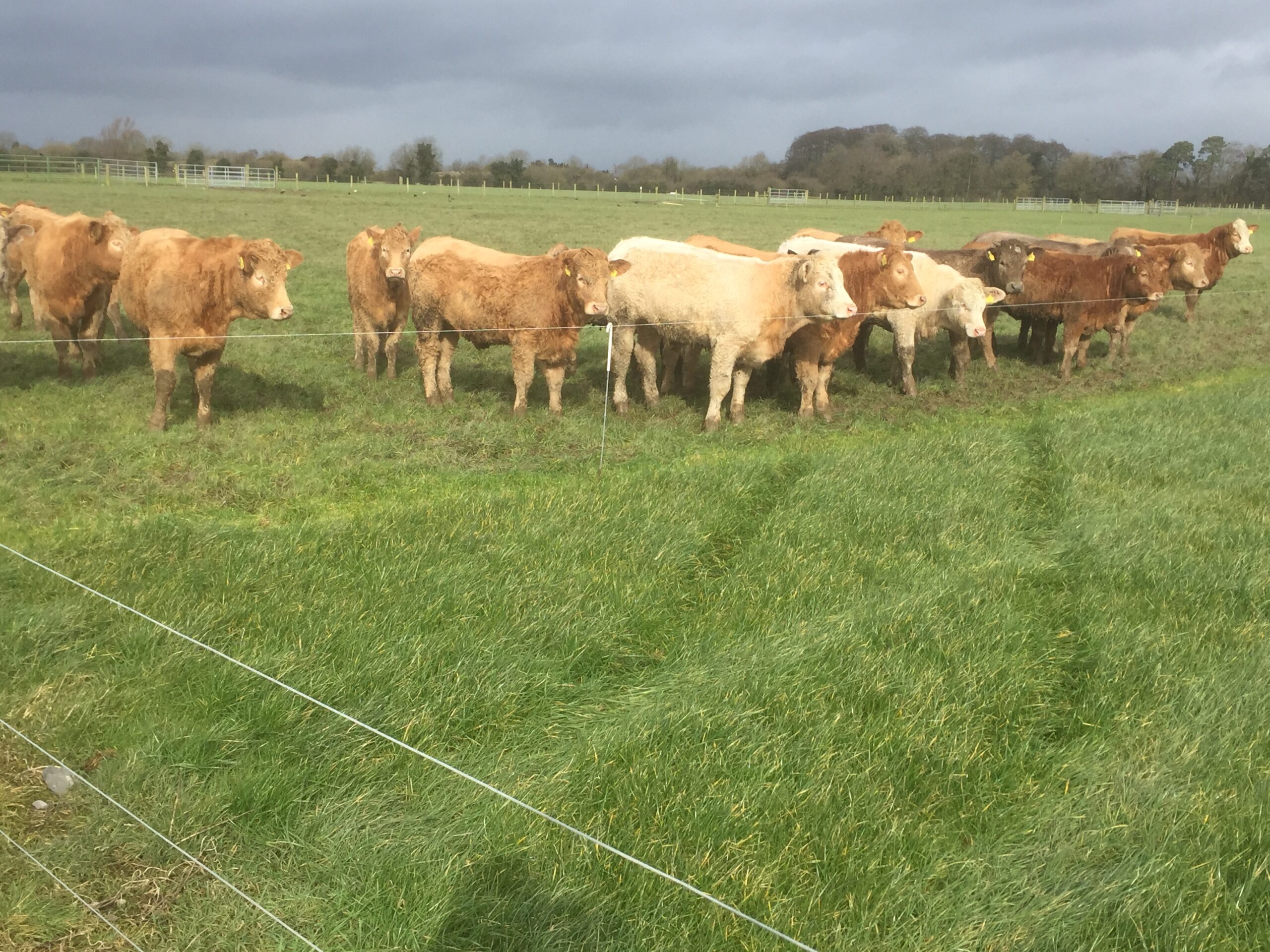 Derrypatrick RathEnclosure · 1537 yd
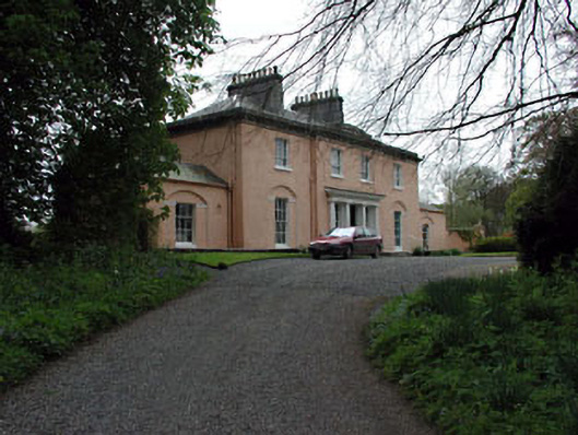 Galtrim Housecountry house · 1.4 mi
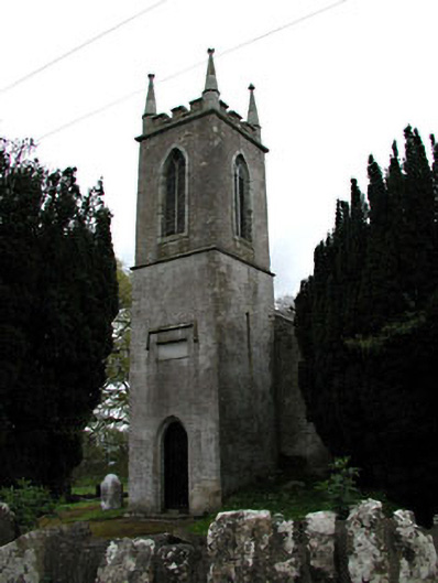 Saint Mary's Church (Galtrim)church/chapel · 1.5 mi
 Railway Woods (North)Forest · 2.5 mi
 Dunsany WoodWood · 2.6 mi
 MullaghMountain / peak · 3.6 mi
 1798 MemorialMemorial · 4.3 mi
 Larchil Arcadian GardensHeritage attraction · 4.4 mi
 Lismahon 1798 MemorialMonument · 5.8 mi
Other information
Photo: Credit not shown in the picture search · Rights wording not checked; contact us if this picture should be removed