What is recorded here
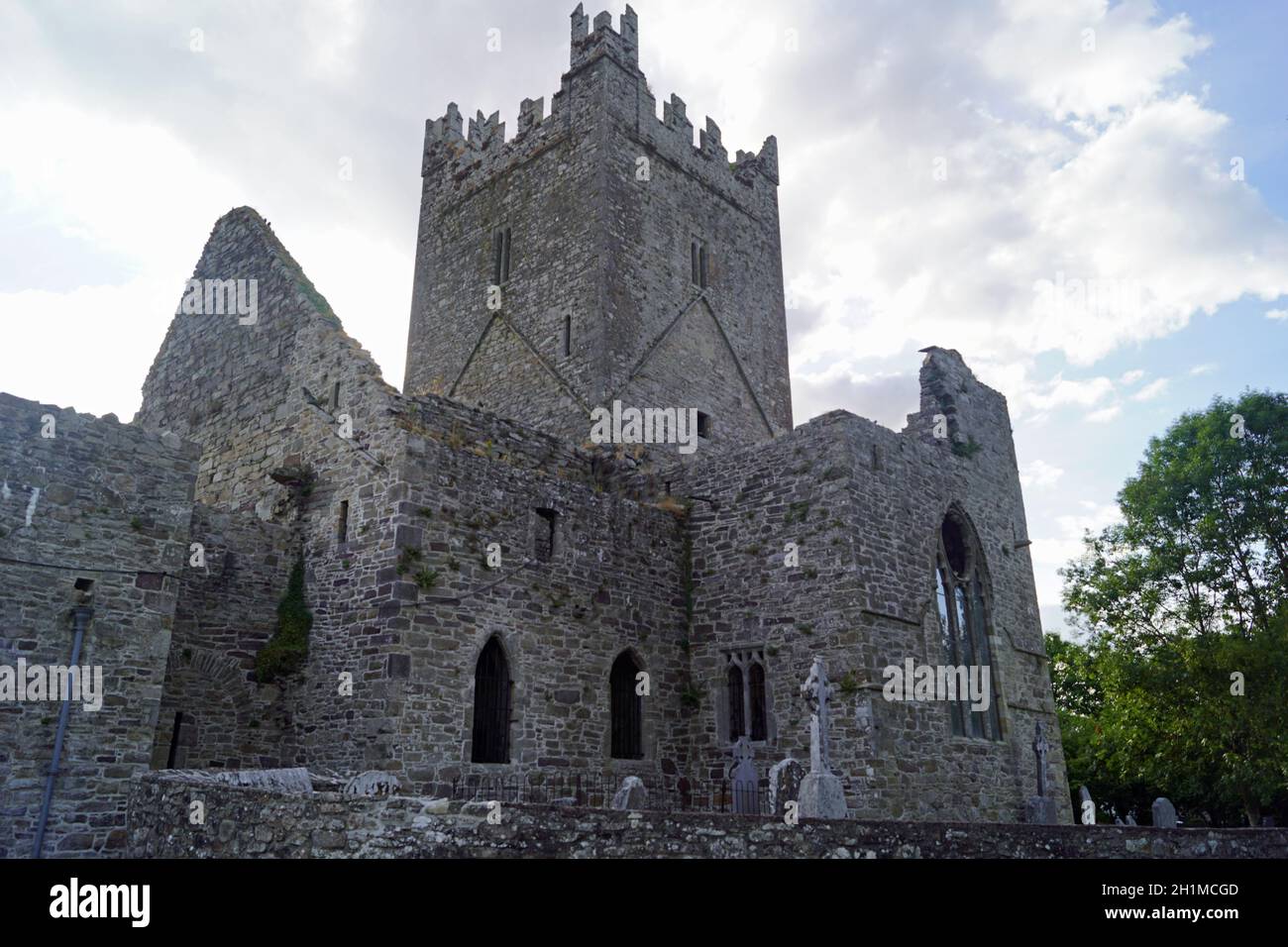
A rectangular graveyard (dims. c. 80m E-W; c. 45m N-S), entered on the W side, from what was formerly the old Kilkenny to Stonyford road, this portion of which has been bypassed by the realigned road (N10). The medieval church (KK023-081001-) is located in the NE angle of a graveyard. Carrigan (1905, vol. 3, 371-2) mentions a number of headstones in the graveyard which date to the late 18th/early 19th century. He also mentions a medieval graveslab (KK023-081003-) within the church (ibid.).
Compiled by: Jean Farrelly
Date of upload: 6 September 2021
The monument record does not grant public access. Check the route and ask the landowner before entering private land.
- What survives
- Recorded monument
Places near here
 Church (in Ruins)Church · 20 yd
 Danesfort CrossMemorial · 744 yd
 Enclosure in PigeonparkEnclosure · 777 yd
 presbytery/parochial/curate's housepresbytery/parochial/curate's house · 954 yd
 Cats WoodWood · 1302 yd
 IndicatedConcentric enclosure · 1645 yd
 Welsh'sForest · 1713 yd
 Ballyda Holy WellSpring · 1.2 mi
 Tower (in ruins)Bawn · 1.5 mi
 Annamult Castle (in ruins)Castle, tower house · 1.5 mi
 Time CapsuleMemorial · 2.5 mi
 Burnchurch CastleVisitor information · 2.7 mi