
What is recorded here
On a gentle E-facing slope, just below the crest of a hill, in rolling grassland, c. 50m NE of a stream which flows into a river c. 400m to the E. On the 1st (1839) ed. OS 6-inch map a medieval church (KK009-019001-), orientated E-W, is built along the straight N side (L 25m) of the roughly D-shaped graveyard (max. dim. c. 28m NW-SE). According to Carrigan (1905, vol. 2, 333-4) the Four Masters record the burning of Cul-Caissin in 844 and 1157. The church is no longer visible at ground level, though a pile of loose stone rubble in the centre of the graveyard, noted in 1987, may be masonry from the church, augmented by field clearance. On the 1st (1839) ed. OS 6-inch map the S and W sides of the graveyard are not enclosed, they are indicated by a dashed line. By the 1900 revision a hexagonal enclosing wall has been built, with an entrance in the SW angle. There are a cross-slab (KK009-019009-) and two medieval graveslabs fragments (KK009-019003-; KK009-019006-) in the graveyard, the latter reused as grave-markers. There is a holy well (KK009-019007-) 18m W of the NW angle of graveyard. Within the field, immediately N, E and W of the graveyard there are earthworks indicative of a medieval settlement (KK009-019004-).
On a gentle E-facing slope, just below the crest of a hill, in rolling grassland, c. 50m NE of a stream which flows into a river c. 400m to the E. On the 1st (1839) ed. OS 6-inch map a medieval church (KK009-019001-), orientated E-W, is built along the straight N side (L 25m) of the roughly D-shaped graveyard (max. dim. c. 28m NW-SE). According to Carrigan (1905, vol. 2, 333-4) the Four Masters record the burning…
From the National Monuments Service (Archaeological Survey of Ireland) record KK009-019002
The monument record does not grant public access. Check the route and ask the landowner before entering private land.
- What survives
- Recorded monument
Places near here
 Church (in ruins)Church · 11 yd
 Graveslab in CoolcashinGraveslab · 11 yd
 Holy well in CoolcashinHoly well · 40 yd
 Saint Muntchan's Catholic ChurchChurch/chapel · 665 yd
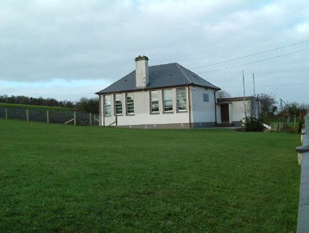 Creenkill National SchoolSchool · 779 yd
 CastleCastle, unclassified · 1.6 mi
_-_geograph.org.uk_-_2495757.jpg/250px-Castles_of_Leinster,_Balleen,_Kilkenny_(2)_-_geograph.org.uk_-_2495757.jpg "Photo: Mike Searle, Wikimedia Commons · CC BY-SA 2.0") Balleen Castle (ruins)Castle · 1.6 mi
Balleen Castle (ruins)Castle · 1.6 mi Clomantagh HillMountain / peak · 2.8 mi
 John HelyMemorial · 4.0 mi
 Devil's Bit MountainMountain / peak · 19 mi
 Hore AbbeyHeritage attraction · 25 mi
 Hore AbbeyHeritage attraction · 25 mi
Pictures: A.-K. D., Wikimedia Commons · CC BY-SA 4.0; kevin higgins, Wikimedia Commons · CC BY-SA 2.0; National Inventory of Architectural Heritage; Mike Searle, Geograph · CC BY-SA 2.0; Mike Searle, Wikimedia Commons · CC BY-SA 2.0; Sarah777 at en.wikipedia, Wikimedia Commons · Public domain; A.-K. D., Wikimedia Commons · CC0; Paddy Ryan, Wikimedia Commons · CC BY-SA 4.0; Hajotthu, Wikimedia Commons · CC BY-SA 3.0; Jonjobaker, Wikimedia Commons · CC BY-SA 4.0
More archaeology and monuments in County Kilkenny · All of County Kilkenny
What do you know about this place?