What is recorded here
Situated high on the NW slope of Colvinstown hill with wide views from S-W-N. Surrounded by forestry on all sides except S. A graveyard associated with Kilranelagh Church (WI027-034001-) which lies within a small D-shaped enclosure (53m E-W; 41m N-S, straight side to the N) within a larger ecclesiastical enclosure (WI027-034005-). The visible headstones both inside and outside the smaller D-shaped enclosure are 18th to 20th century in date and while there are a few recent burials, it is largely disused.
Compiled by: Mary Tunney
Date of upload: 18 December 2012
The monument record does not grant public access. Check the route and ask the landowner before entering private land.
- What survives
- Recorded monument
Places near here
 Cross in Colvinstown UpperCross · 1 yd
 St. Bridgets WellHoly well · 58 yd
 Sam McAllistair GraveMemorial · 69 yd
 Saint Brigit's Mass StoneNamed rock · 827 yd
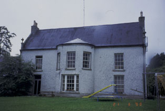 Kilranelagh Housecountry house · 939 yd
 Saint Brigit's ChairNamed rock · 988 yd
 MoatamoyCastle, motte · 1.1 mi
 Saint Patrick's WellRuins · 1.2 mi
 Castle in ruinsCastle, unclassified · 1.3 mi
 Keadeen MountainMountain / peak · 2.1 mi
 European BeechEuropean Beech · 3.0 mi
 Dwyer McAllister CottageMuseum · 3.0 mi