What is recorded here
On a gentle E-facing slope in undulating pasture. A sub-rectangular graveyard (dims. 50m N–S; 46.5m E–W) with a church (TS070-086----), orientated E–W, roughly centrally placed within. The graveyard is enclosed by a low earthen and stone bank (int. H 0.6-0.8m; ext. H 0.6-0.7m; Wth at top 1m; overall Wth 1.9-2.1m), except in the E quadrant where the bank is reduced to a scarp (H 0.8m). There are earthworks (TS070-086003-) to the E and SE and a small enclosure (TS070-086002-) immediately to the N of the graveyard and another (TS070-085----) c. 30m to the N. According to the OS Letters 'Its graveyard is deserted' (O'Flanagan 1930, vol. 1, 67 (181)). There are no graveslabs or headstones visible above ground level.
Compiled by: Jean Farrelly
Date of upload: 26 September 2011
The monument record does not grant public access. Check the route and ask the landowner before entering private land.
- What survives
- Recorded monument
Places near here
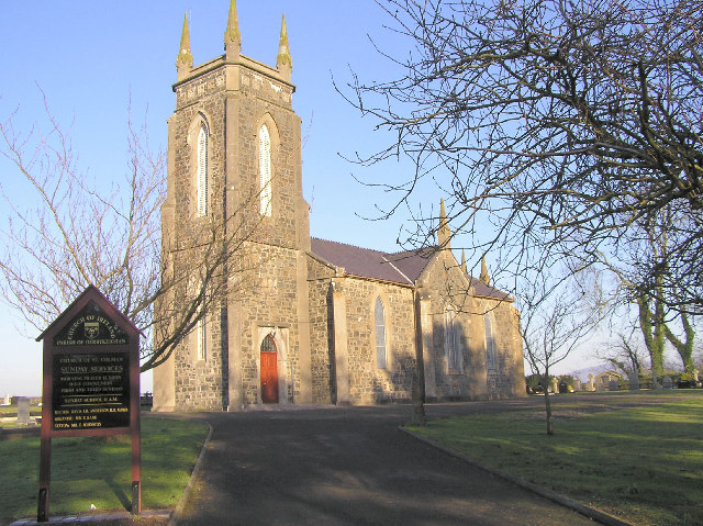 Colman Church (in ruins)Church · 9 yd
 Enclosure in Colman (hennessy)Enclosure · 82 yd
 ToberamaherHoly well · 441 yd
 Rathdrum Castle (in ruins)Castle, tower house · 1425 yd
 BatteryBawn · 1464 yd
 Mora Church (in ruins)Church · 1.3 mi
 Pedunculate OakPedunculate Oak · 2.3 mi
 Grove WoodForest · 2.8 mi
 East GateMemorial · 3.0 mi
 Kilknockan HillMountain / peak · 4.0 mi
 Enclosure in Moorstown (mora Par.)Enclosure · 937 yd
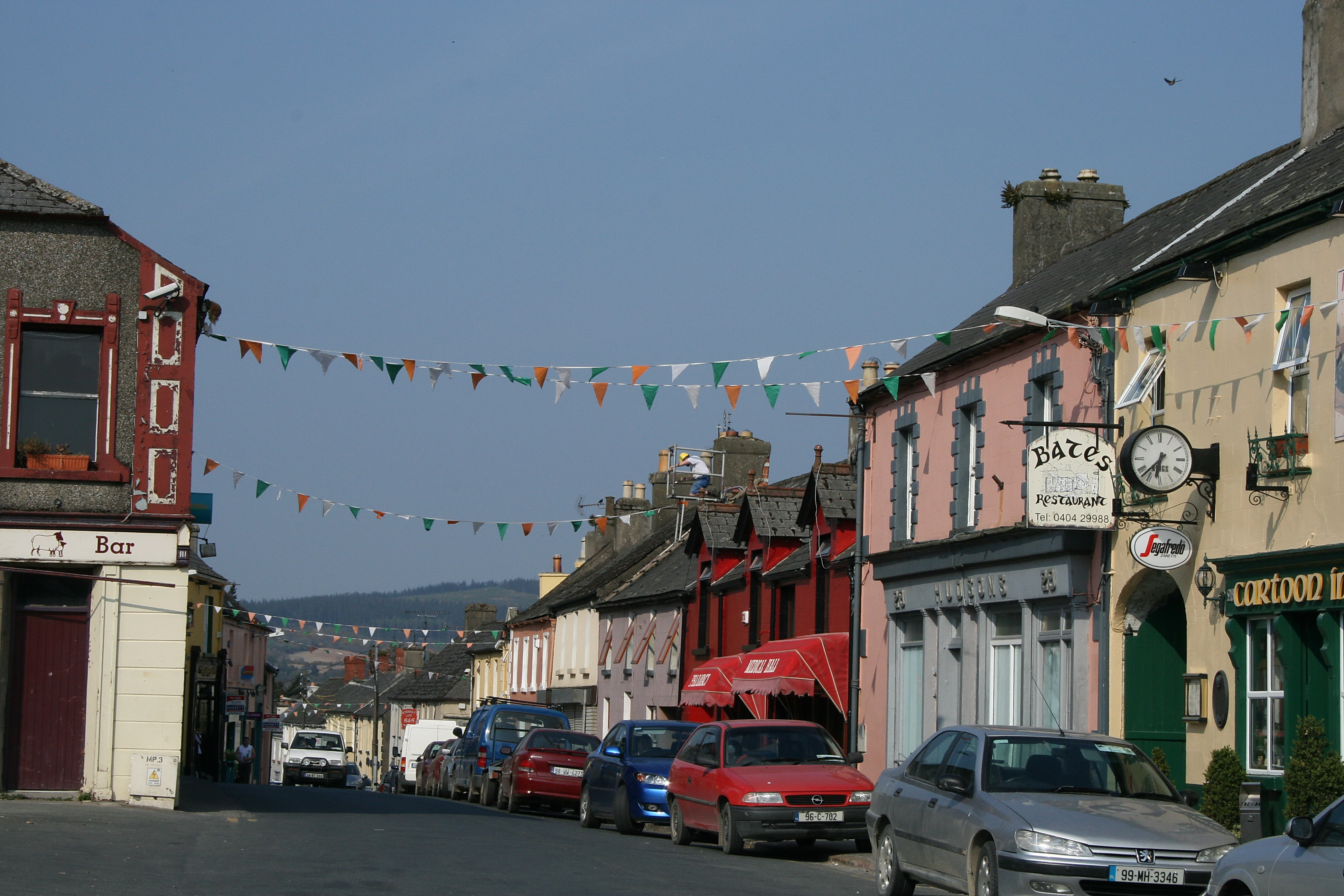 (Site of) TemplemurryChurch · 1148 yd