
What is recorded here
Situated on an E-facing slope at the base of a high NE-SW ridge. Named on the 1838 OS 6-inch map as 'Site of Church & Graveyard'. A small subcircular area (dims. 18.3m NW-SE; 14m NE-SW) defined by a wall (Wth 2m; H 0.2m) within a much larger D-shaped area (dims. 56m NW-SE; 17m NE-SW) backing on to a stream (straight side) at the NE. There is no trace of a church and no grave-markers, the only internal feature being a line of stones which may have been part of a plinth. Local information suggests it may have been used until the turn of the century for the burial of unbaptised infants.
From the National Monuments Service (Archaeological Survey of Ireland) record WI039-020001
Places near here
Photo credits
- National Inventory of Architectural Heritage
- Jonathan Billinger, Wikimedia Commons · CC BY-SA 2.0
- Miguel Angel Masegosa Martínez, Wikimedia Commons · CC BY 2.0
- Hello, I am Bruce on Flickr, Wikimedia Commons · CC BY-SA 2.0
Church (Site of), Grave YardChurch · 7 ydIndicatedFairy fort / earthen ringfort · 305 yd Clone HouseFarm house · 489 ydThe Old ForgeHouse · 1.4 miCastleCastle, motte · 1.7 mi(Site of) CastleCastle, unclassified · 2.2 miCroghan KinsellaMountain / peak · 2.7 miWoodenbridge World War One MemorialMemorial · 3.2 miSweet Chestnut3.6 miWhite Heaps 1798Memorial · 3.7 miScots Pine3.7 miMonalee HillMountain / peak · 4.2 mi
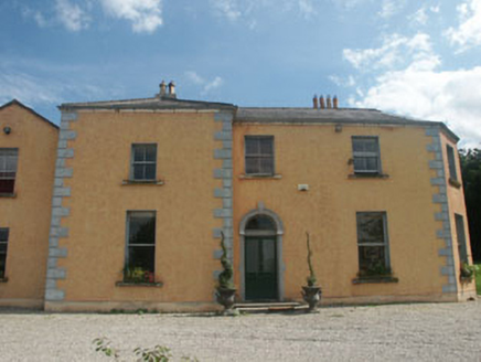 Clone HouseFarm house · 489 yd
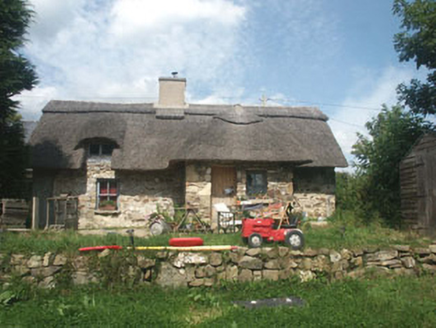 The Old ForgeHouse · 1.4 miCastleCastle, motte · 1.7 mi(Site of) CastleCastle, unclassified · 2.2 mi
 Croghan KinsellaMountain / peak · 2.7 miWoodenbridge World War One MemorialMemorial · 3.2 mi
 Sweet Chestnut3.6 miWhite Heaps 1798Memorial · 3.7 mi
 Scots Pine3.7 mi
 Monalee HillMountain / peak · 4.2 mi
More archaeology and monuments in County Wicklow · All of County Wicklow

What do you know about this place?Tap to add a comment or ask a question