What is recorded here
Situated on the NE edge of a ridge on level ground with a short steep drop to the N and E. According to Price (1946, 90-91) this is an early ecclesiastical church and enclosure (WI043-009003-). A ruined early nineteenth-century structure with no surviving evidence of an earlier church. A cylindrical block of granite mentioned by Price (1946, 90) lies just outside the SW corner of the church and there are some other miscellaneous architectural fragments. The graveyard contains a large number of mid-eighteenth-century headstones. The church and graveyard lie just S of the centre of a large oval enclosure (dims. 100m N-S; c. 65m E-W) defined at the E and W by an earthen bank (Wth 3m; H 2m) with drystone facing. No indication of a fosse. There may have been an entrance at the NW where the enclosure is approached by a raised path between two ditches.
The above description is derived from the published 'Archaeological Inventory of County Wicklow' (Dublin: Stationery Office, 1997). In certain instances the entries have been revised and updated in the light of recent research.
Compiled by: Jean Farrelly
Date of upload: 10 October 2012
Early medieval ecclesiastical site; associated with a ruined 19th-century church, suggesting continuity of sacred use from at least the early medieval period. Its location on a prominent ridge may indicate ceremonial or strategic significance.
The monument record does not grant public access. Check the route and ask the landowner before entering private land.
- What survives
- Recorded monument
Places near here
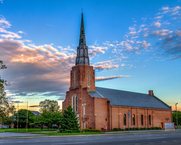 Church in ChurchlandChurch · 1 yd
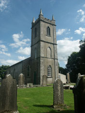 Kilcommon Churchchurch/chapel · 18 yd
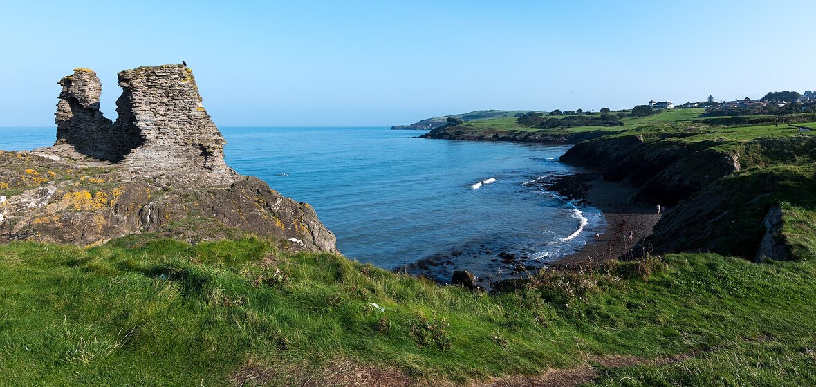 Enclosure in CoolroeEnclosure · 1.5 mi
 Killaveny WoodWood · 1.6 mi
 Sessile OakSessile Oak · 1.6 mi
 IndicatedEnclosure · 1.7 mi
 (Site of) Raymond CastleCastle, unclassified · 1.8 mi
 1798 Lacey Brothers MemorialMemorial · 2.6 mi
 1798 MemorialMemorial · 2.8 mi
 Ballynultagh HillMountain / peak · 3.5 mi
 Ballycumber HillMountain / peak · 3.5 mi
 (Site of) Castle & RampartCastle, unclassified · 4.4 mi