
What is recorded here
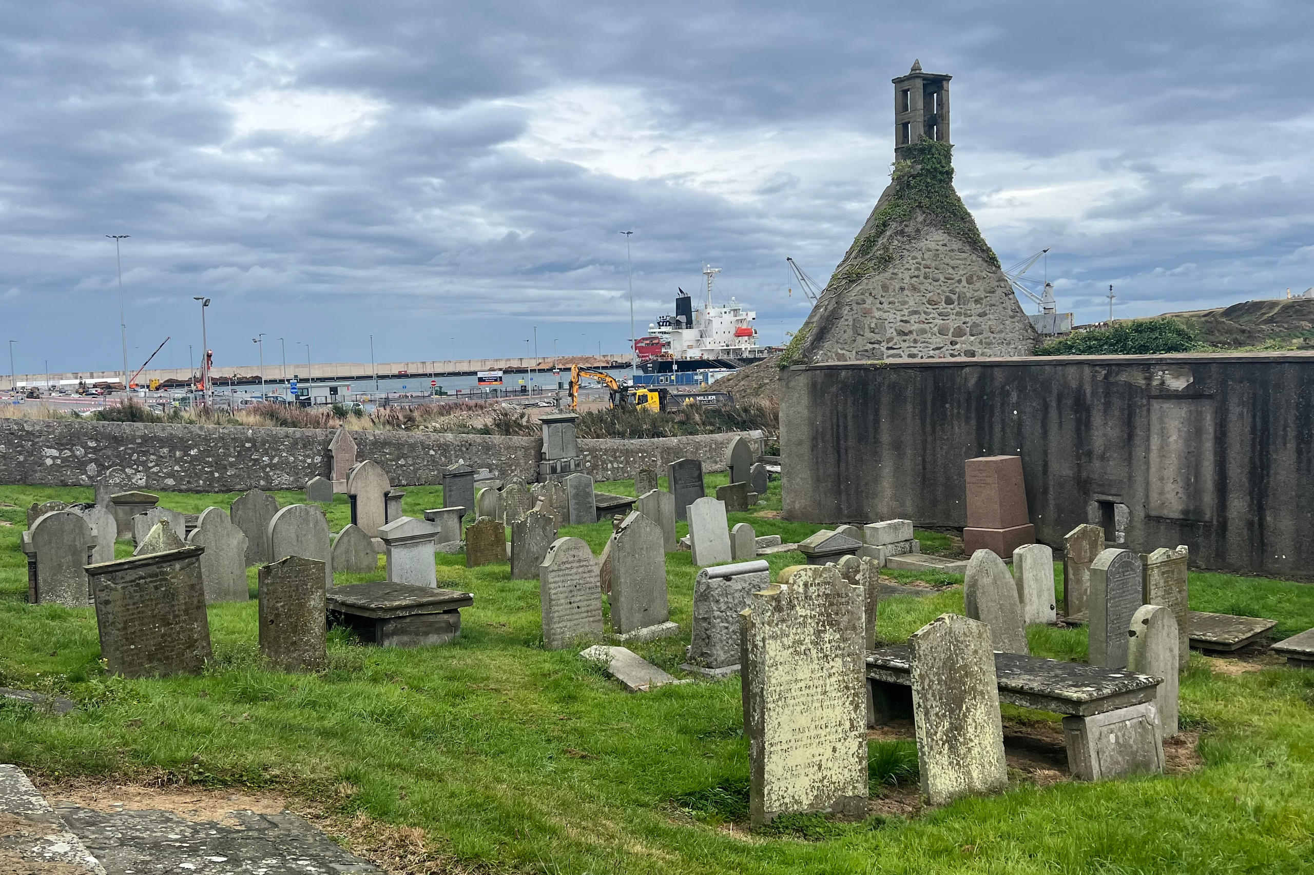
On N side of road. Trapezoidal graveyard (c. 150m NW-SE; c. 70m max. NE-SW) enclosed by stone wall; shown on 1842 OS 6-inch map as much smaller only occupying SE corner of percent graveyard. Ruin of Kilbrin parish church (14403) in SE corner. Graveyard in use. Earliest headstone noted dated 1784; Grove White (1905-25, vol. 3, 227) noted tombs of 1726, 1742 and 1764 and vault of Nashes of Rockfield, dated 1801. Graveyard described in 1839 (ibid., 226) as 'overspread with wrought stones, probably taken from...ruin' of church. Bowman (1934, 370) noted broken font, used as gravemarker, then set on pedestal in churchyard, later built into nearby farmyard wall. Female head (CO023-051003-) with flowing locks, carved in stone, built into wall to right of entrance gate. Grove White (ibid. vol. 1, 195) was informed locally that an attempt made c. 1788 to build new C of I church in graveyard but after repeated collapse of structure, new church built at Ballygrady (14601) instead.
The above description is derived from the published 'Archaeological Inventory of County Cork. Volume 4: North Cork' (Dublin: Stationery Office, 2000). In certain instances the entries have been revised and updated in the light of recent research.
Date of upload/revision: 14 January 2009
The monument record does not grant public access. Check the route and ask the landowner before entering private land.
- What survives
- Recorded monument
Places near here
 Kilbrin Church (in Ruins)Church · 45 yd
 Fulachta FiadhFulacht fia · 702 yd
 Church of Saint John the Baptistchurch/chapel · 702 yd
 CastleCastle, unclassified · 1002 yd
 Fulacht fia in KnockballymartinFulacht fia · 1035 yd
 Ballyheen Castle (Site of)Castle, unclassified · 2.1 mi
 Graveyard in Ballygiblin (duhallow By.)Graveyard · 2.7 mi
 European YewEuropean Yew · 2.7 mi
 Burial ground in AssolasBurial ground · 2.8 mi
 Lady's WellSpring · 3.2 mi
 Battle of LiscarrollMajor battlefield · 3.4 mi
 Hanna SheehyMemorial · 4.3 mi
Other information
Photo: Credit not shown in the picture search · Rights wording not checked; contact us if this picture should be removed