What is recorded here
At E side of road; rectangular graveyard (c. 60m E-W; c. 40m N-S), with recent extension of similar size on S side; 1842 OS 6-inch map shows area unenclosed to E and S. Still in use. Earliest noted headstone dated 1724; Coleman and Noonan (1910-12) noted headstone dated 1720. Windele (1844,255) notes 'oldest grave-stone...bears the date of 1628'; location no longer known. 1842 OS 6-inch map shows rectangular structure in NE corner named 'Carrigrohane Church (in ruins)' (CO073-050002-), as opposed to existing church(CO073-05003-) on W side. Subsequent editions of OS 6-inch map (1902 and1939) and most sources describe later church as 'on site of' earlier church; large Murphy tomb and graveplot of 1840s now fills NE corner of graveyard, set into slightly lower rectangular terraced area.
At E side of road; rectangular graveyard (c. 60m E-W; c. 40m N-S), with recent extension of similar size on S side; 1842 OS 6-inch map shows area unenclosed to E and S. Still in use. Earliest noted headstone dated 1724; Coleman and Noonan (1910-12) noted headstone dated 1720. Windele (1844,255) notes 'oldest grave-stone...bears the date of 1628'; location no longer known. 1842 OS 6-inch map shows rectangular…
From the National Monuments Service (Archaeological Survey of Ireland) record CO073-050001
The monument record does not grant public access. Check the route and ask the landowner before entering private land.
- What survives
- Recorded monument
Places near here
 Saint Peter's Church (Carrigrohane)Church/chapel · 47 yd
_from_RIA_(MS_3_C_30_34).jpg/250px-Carrigrohane_Castle,_Co._Cork_by_Gabriel_Beranger_(1729-1817)_from_RIA_(MS_3_C_30_34).jpg "Photo: Gabriel Beranger (c.1729-1817), Wikimedia Commons · Public domain") Carrigrohane CastleCountry house · 254 yd
Carrigrohane CastleCountry house · 254 yd Carrigrohane Castle (in Ruins)Castle, Anglo-Norman masonry castle · 262 yd
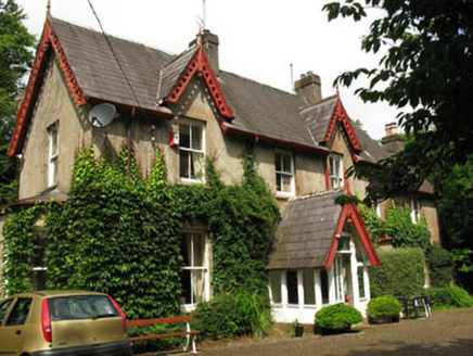 The GlebeRectory/glebe/vicarage/curate's house · 466 yd
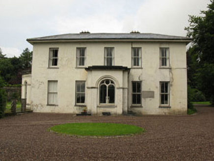 Rockrohan HouseCountry house · 538 yd
 Leemount BridgeBridge · 796 yd
 Rockrohan HouseGate lodge · 809 yd
 Kiltborough HouseOutbuilding · 828 yd
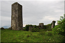 Ballincollig Castle (in Ruins)Castle, tower house · 2.1 mi
 Lavitts QuayMemorial · 3.6 mi
 Ladys WellHoly well · 3.7 mi
 Father MatthewMonument · 3.7 mi
Pictures: Jonathan Thacker, Geograph · Creative Commons Attribution-ShareAlike 2.0; Gabriel Beranger (c.1729-1817), Wikimedia Commons · Public domain; Garry Dickinson, Geograph · CC BY-SA 2.0; National Inventory of Architectural Heritage; Hywel Williams, Geograph · Creative Commons Attribution-ShareAlike 2.0; Mike Searle, Geograph · CC BY-SA 2.0; P L Chadwick, Wikimedia Commons · CC BY-SA 2.0; Michael O'Sheil, Wikimedia Commons · CC BY-SA 4.0
More archaeology and monuments in County Cork · All of County Cork
What do you know about this place?