
What is recorded here
Situated in grassland, with Coonagh castle (LI025-002002-) and Cahernahallia River 215m and 160m to W respectively. Castletown church forms N boundary of small rectangular-shaped graveyard described in 1840 as 'the supposed, ruin of a Friary. The walls are about 10 feet [3m] high, and in length and breadth…
Read the whole record
From the National Monuments Service (Archaeological Survey of Ireland) record LI025-004002
Places near here
Photo credits
- Maker not stated on source page, www.alamy.com
- Mike Searle, Wikimedia Commons · CC BY-SA 2.0
- National Inventory of Architectural Heritage
- Maker not stated on source page, monumentalireland.ie
- Maker not stated on source page, commons.wikimedia.org
 Mapped graveyardGraveyard · 5 yd
Explorer Tom Mapped graveyard in County Limerick was mislabelled by map makers who were definitely drunk on whiskey and bad…
 Coonagh CastleCastle · 244 yd
Explorer Tom Coonagh Castle in County Limerick sits quietly in a farmyard, pretending it isn’t actually a Norman keep just because…
Coonagh Castle (in ruins)Castle, Anglo-Norman masonry castle · 250 ydExplorer Tom Coonagh Castle in Coolbaun is stuck in a feud over who owns the best view of the river. It’s sitting in a farmyard like…
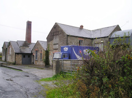 Castletown CreameryCreamery, chimney · 458 yd
Explorer Tom The Castletown Creamery had a fairy dispute over parking rights near the river, which explains the red brick chimney’s…
 bridge459 yd
Explorer Tom Bridge in Carrig Beg has a local bloke who swears he invented the arch design himself. He stands there pointing at the…
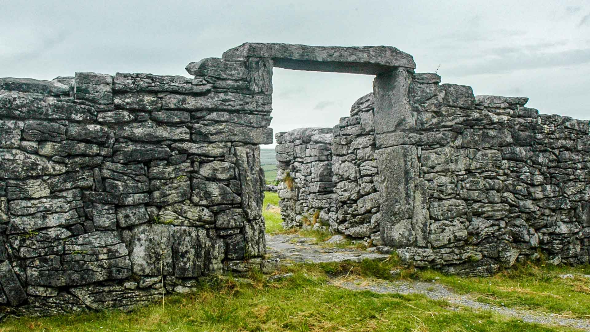 Fairy fort / earthen ringfort in Carrig MoreFairy fort / earthen ringfort · 1172 yd
Explorer Tom Fairy fort / earthen ringfort in Carrig More has strict rules: no hats, no noise, no questions asked. It’s a raised…
 Derraun BridgeBridge · 1673 yd
Explorer Tom Derraun Bridge has V-shaped cutwaters that look like giant stone arrows aiming at anyone who walks too close to the…
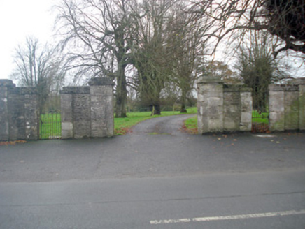 Kilmoylan HouseDemesne walls/gates/railings · 1.6 mi
Explorer Tom Kilmoylan House left only its piers behind, like a bad breakup with no closure! Someone wrote a poem about them once…
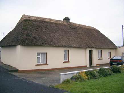 Historic buildingOfficially recorded historic building · 1.6 mi
Explorer Tom Historic building in Coolnapisha is sick of people asking if it’s haunted, when really it’s just proud of its mud walls…
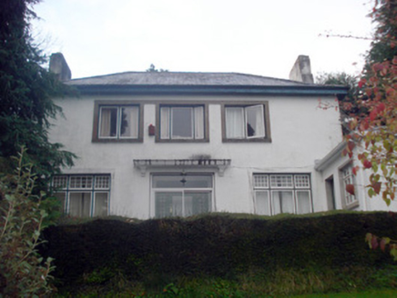 WoodbrookHouse · 1.6 mi
Explorer Tom Woodbrook in Doon had a fairy dispute over parking rights where three pixies argued about who gets to sit on the…
 Earthwork in Keeloges (coonagh By.)Earthwork · 1.7 mi
Explorer Tom Earthwork in Keeloges has a strong opinion from the local sheep who think it’s the best spot for a nap in the county.…
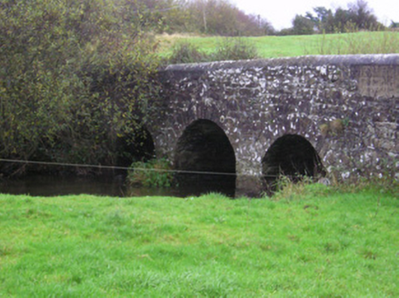 Longford BridgeBridge · 1.7 mi
Explorer Tom Longford Bridge hates it when tourists try to climb on its V-shaped cutwaters, which is rude if you ask me. It’s a…
More archaeology and monuments in County Limerick · All of County Limerick

What do you know about this place?Tap to add a comment or ask a question