What is recorded here
On a steep S-facing pasture slope just off the crest of Carrick Hill, with Carrick Castle (KD002-009----) c. 40m upslope to the NW, and a holy well (KD002-008----) c. 200m to the S. A D-shaped area (diam. 47.5m ENE-WSW) with a straight SW side (L 46m) containing a possible early ecclesiastical enclosure (KD002-010001-) and a medieval church (KD002-010002-) in the E sector, is enclosed by a modern, mortared stone wall with access via a gate and stile from the road to the SW. Still in use with legible grave markers dating from the 18thC. to the present.
Compiled by: Gearóid Conroy
Date of upload: 10 June 2011
The monument record does not grant public access. Check the route and ask the landowner before entering private land.
- What survives
- Recorded monument
Places near here
 Carrick CastleCastle, hall-house · 53 yd
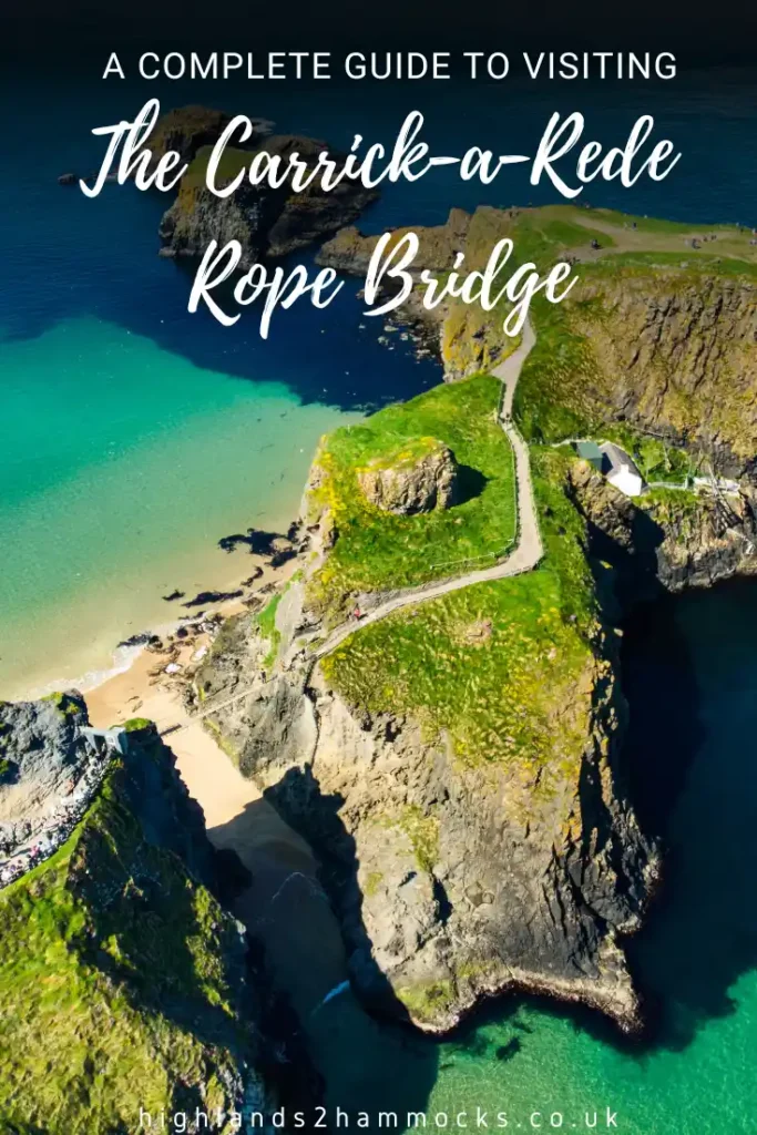 TobercroHoly well · 275 yd
 Bow WoodWood · 646 yd
 Well WoodWood · 1461 yd
 Enclosure in KinnafadEnclosure · 1641 yd
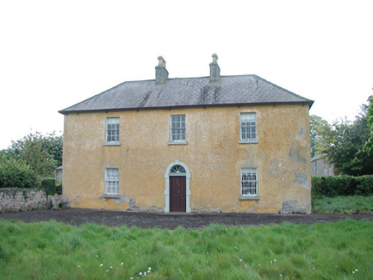 Grange Housefarm house · 1.0 mi
 Grange CastleCastle, tower house · 1.3 mi
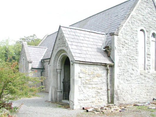 Rahanchurch/chapel · 1.5 mi
 Croppies' GraveMemorial · 4.4 mi
 The Fairy BowerHeritage attraction · 8.2 mi
 Lullymore Heritage ParkHeritage attraction · 8.2 mi
 Sli na Slainte - mapVisitor information · 8.5 mi