
What is recorded here
Situated on the N side of a ravine with a SW-NE stream c. 20m to the SE. The parish church of Chapel Carron (WX037-011001-) is within a subrectangular enclosure (dims. 26m E-W; 10 14m N-S) with some trees that is defined by an earthen bank (Wth c. 1m; H 0.5m) at W and N but backing onto the ravine (H c. 6m) at S. There is a ramp entrance to the enclosure (Wth 2.2m) through a scarp (H 1.3m) on the E side. There is no evidence of burial in the enclosure, although the enclosure is described as a graveyard on the 1839 and 1941 eds of the OS 6-inch map. St Nicholas' Well (WX037-010----) is c. 280m to the SW.
From the National Monuments Service (Archaeological Survey of Ireland) record WX037-011002
Places near here
Photo credits
- National Inventory of Architectural Heritage
- Richard Webb, Geograph · CC BY-SA 2.0
- Maker named on the Wikimedia Commons picture page · CC BY-SA 3.0
- David Purchase, Geograph · Creative Commons Attribution-ShareAlike 2.0
- Jonathan Thacker, Geograph · CC BY-SA 2.0
- Thommcg1980, Wikimedia Commons · CC BY-SA 4.0
- AFBorchert, Wikimedia Commons · CC BY-SA 4.0
- Danielclauzier, Wikimedia Commons · CC BY-SA 3.0
- Walter Siegmund (talk), Wikimedia Commons · CC BY-SA 3.0
(site of) Chapel CaronChurch · 1 yd Healthfield HouseGates/railings/walls · 164 ydfarm house511 ydCelebrating 125 YearsMemorial · 860 ydForth MountainMountain / peak · 3.5 miDawn Redwood3.6 miClonmore Grave YardGraveyard · 4.7 miTaghmon CastleCastle · 4.8 miCommodore John Barry MemorialMemorial · 4.9 miSiege of WexfordSiege · 5.1 miSack of WexfordSiege · 5.1 miDouglas-fir5.6 mi
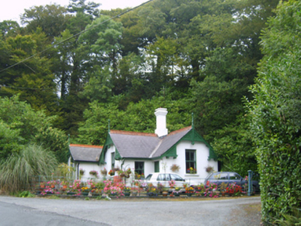 Healthfield HouseGates/railings/walls · 164 yd
 farm house511 ydCelebrating 125 YearsMemorial · 860 yd
 Forth MountainMountain / peak · 3.5 mi
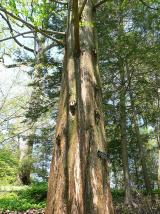 Dawn Redwood3.6 mi
 Clonmore Grave YardGraveyard · 4.7 mi
 Taghmon CastleCastle · 4.8 mi
 Commodore John Barry MemorialMemorial · 4.9 mi
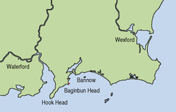 Siege of WexfordSiege · 5.1 mi
 Sack of WexfordSiege · 5.1 mi
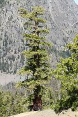 Douglas-fir5.6 mi
More archaeology and monuments in County Wexford · All of County Wexford

What do you know about this place?Tap to add a comment or ask a question