
What is recorded here
From the National Monuments Service (Archaeological Survey of Ireland) record KD014-041002
Places near here
Photo credits
- Maker not stated on source page, readymap.irish
- Maker not stated on source page, eattasty.pt
- Maker not stated on source page, animalia-life.club
- Maker not stated on source page, fi.pinterest.com
- Maker not stated on source page, ca.pinterest.com
- Golfing in Ireland; photographer not stated, Source publisher
- National Inventory of Architectural Heritage
- Maker not stated on source page, www.irishexaminer.com
- Royalcanalrunner, Wikimedia Commons · CC BY-SA 4.0
- Maker not stated on source page, en.wikipedia.org
- Kfm; photographer not stated, Kfm
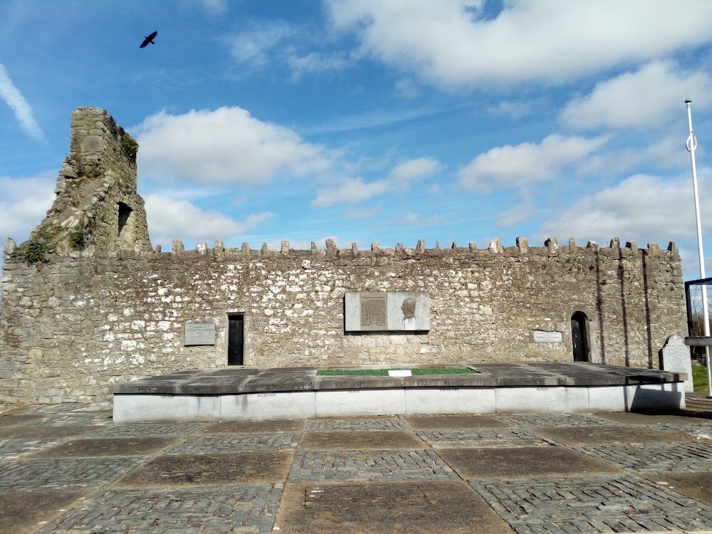 Bodenstown GraveyardGraveyard · 9 yd
Explorer Tom Bodenstown Graveyard would order a massive chipper with extra gravy if it could, because it knows exactly how many…
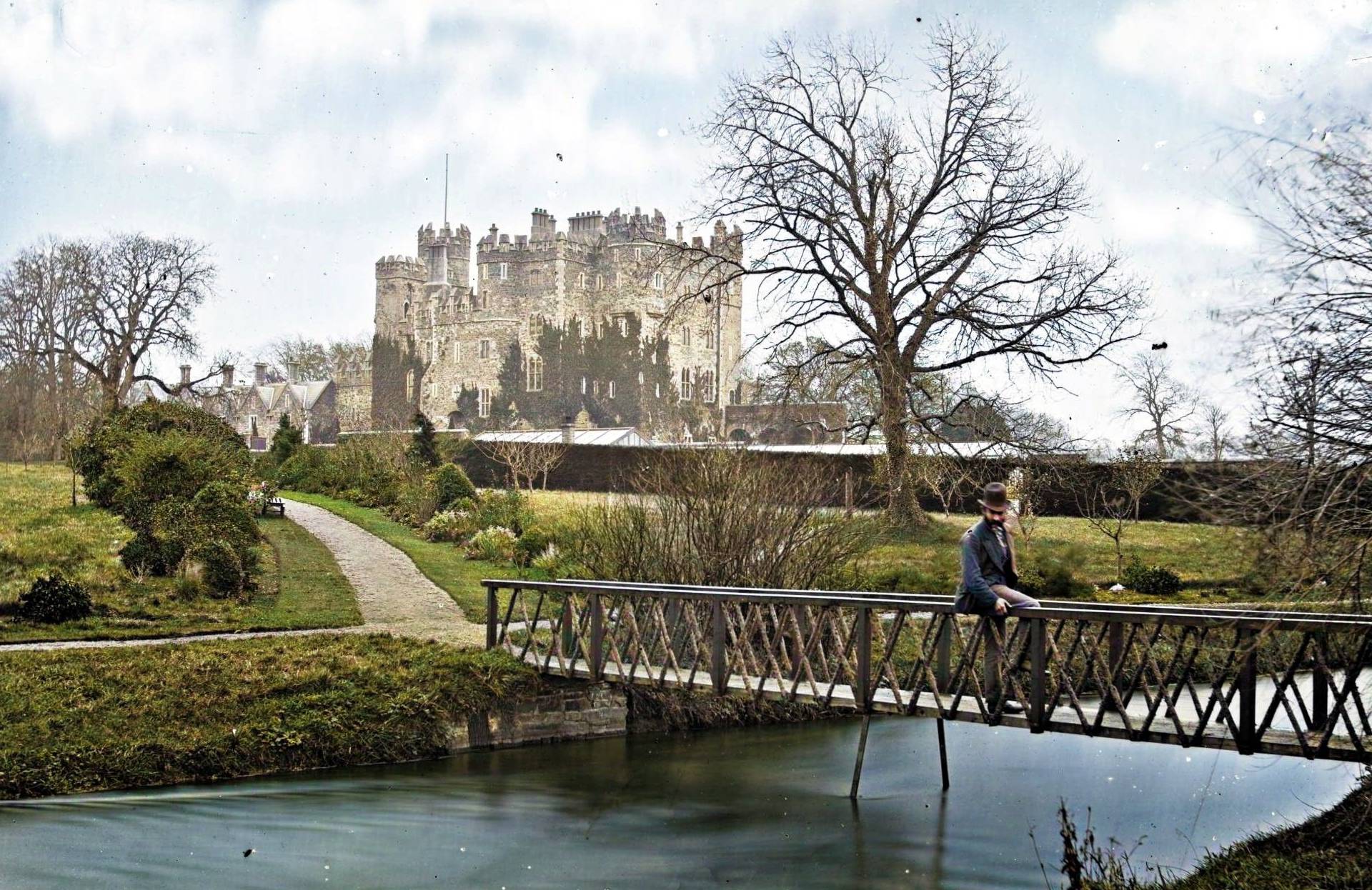 Site of CastleCastle, unclassified · 483 yd
Explorer Tom Site of Castle at Castlesize vanished so thoroughly even the ghosts are confused. Someone once wrote a truly terrible…
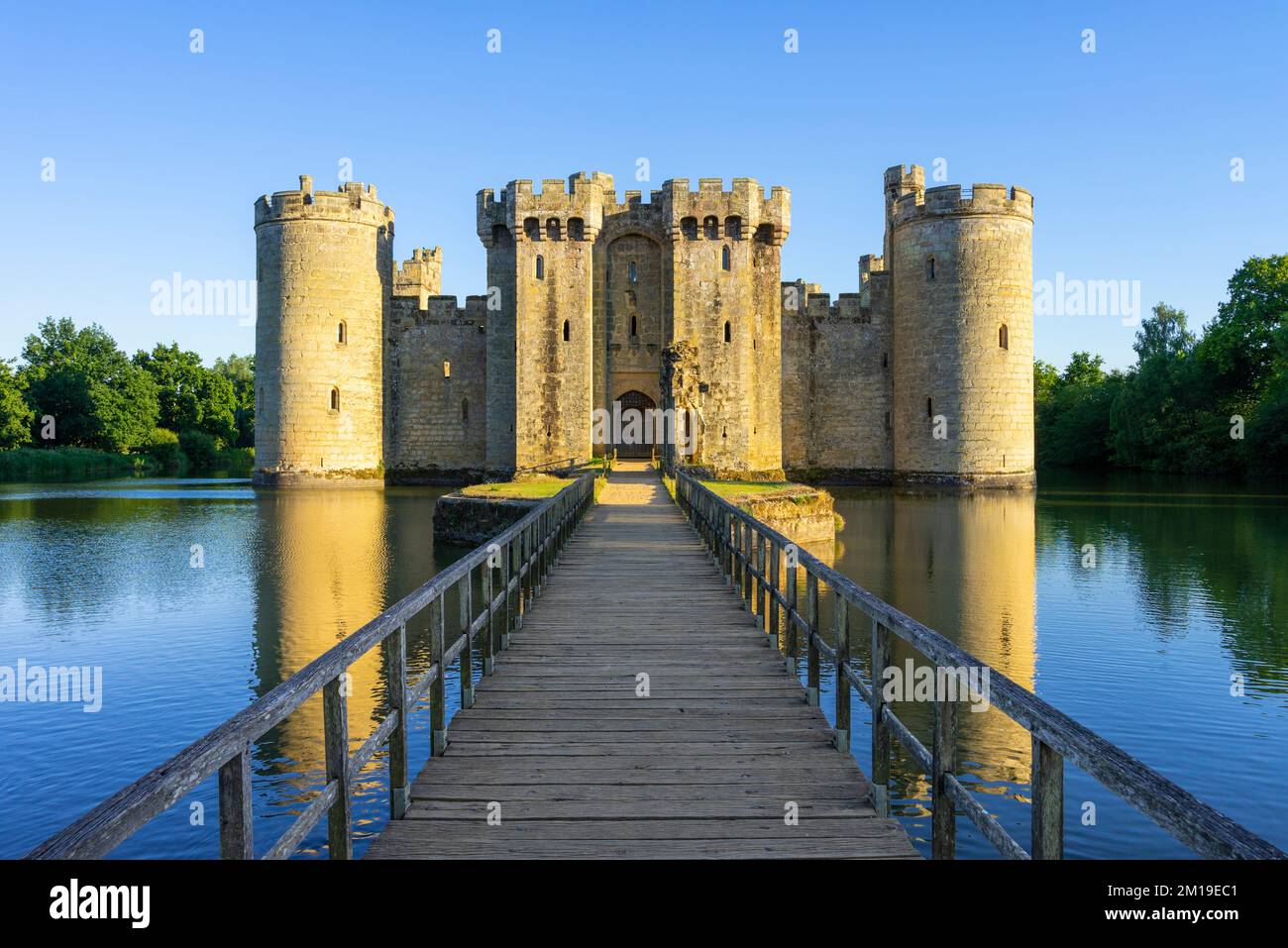 CastleCastle, unclassified · 1272 yd
Explorer Tom This Castle in Millicent Demesne is three buildings that can't agree on where they are. If it went to a chipper, it’d…
 Mapped cemeteryCemetery · 1312 yd
Explorer Tom This Mapped Cemetery ended up in the wrong place because a surveyor looked at his phone instead of the horizon. He…
 Sherlockstown Church (Site of)Church · 1332 yd
Explorer Tom Sherlockstown Church in Sherlockstown is listening to gossip through its missing walls. It heard everything but forgot…
 Millicent Golf ClubGolf course · 1.1 mi
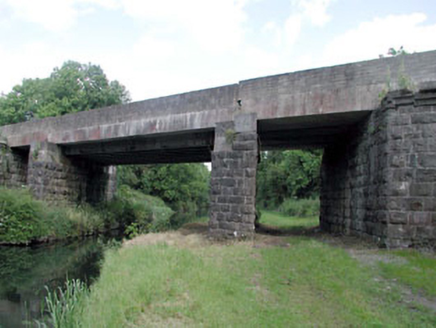 bridge1.1 mi
Explorer Tom Bridge in Kerdiffstown has very strong opinions on modern buildings, mostly that they look like cardboard boxes…
 Fairy fort / earthen ringfort in Daars SouthFairy fort / earthen ringfort · 1.7 mi
Explorer Tom Fairy fort / earthen ringfort in Daars South is on a headland, looking down its nose at modern houses. It’s got strong…
 Digby Bridge and 16th LockBridge · 1.7 mi
Explorer Tom Digby Bridge is hiding a scandal about a duck who got stuck in the lock for a decade. It arches over the canal with a…
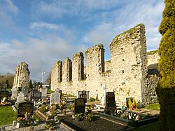 Clane Abbey (in Ruins)Religious house, Franciscan friars · 1.8 mi
Explorer Tom Clane Abbey hears the wind whispering about who actually founded it back then. It’s been listening to those arguments…
 Killeen Golf ClubGolf course · 2.0 mi
 Kerdiffstown ParkPark · 2.1 mi
Explorer Tom Kerdiffstown Park has a backstory you would never guess from a family walking past its playground: this green hill used…
More archaeology and monuments in County Kildare · All of County Kildare

What do you know about this place?Tap to add a comment or ask a question