
What is recorded here
From the National Monuments Service (Archaeological Survey of Ireland) record CO087-051001
Places near here
Photo credits
- Maker not stated on source page, readymap.irish
- Maker not stated on source page, www.pac.ru
- Hywel Williams, Geograph · CC BY-SA 2.0
- Maker not stated on source page, www.alamy.com
- National Inventory of Architectural Heritage
- Rogue29567, Wikimedia Commons · CC BY-SA 4.0
- Garry Dickinson, Geograph · CC BY-SA 2.0
- Maker not stated on source page, commons.wikimedia.org
 Mapped cemeteryCemetery · 50 yd
Explorer Tom This Mapped cemetery in County Cork would tell a teenager that the 1800s were basically 'before phones existed' and…
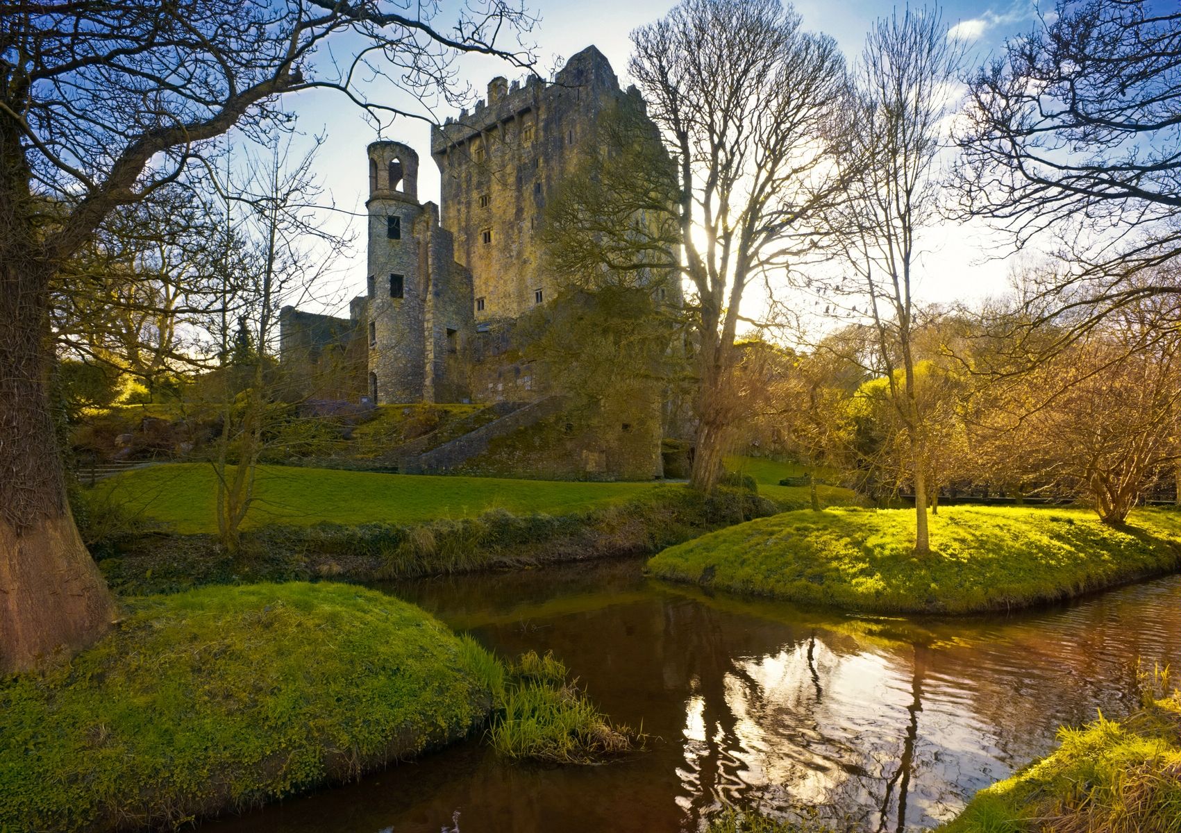 Barnahely CastleCastle · 172 yd
Explorer Tom Barnahely Castle is hiding a treasure chest that definitely contains an old biscuit tin and a very disappointed…
 Castle (in Ruins)Castle, tower house · 188 yd
Explorer Tom Castle in Barnahely is a complex of ruined buildings around a farmyard that still functions today. The oldest structure…
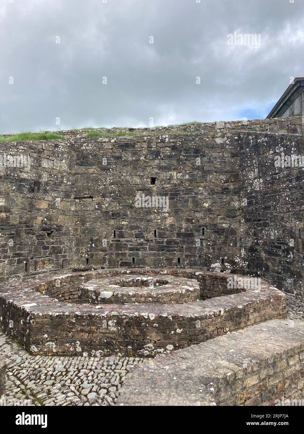 Fairy fort / earthen ringfort in BarnahelyFairy fort / earthen ringfort · 513 yd
Explorer Tom Fairy fort / earthen ringfort in Barnahely has strict rules for visitors: don't touch the bank, don't ask questions…
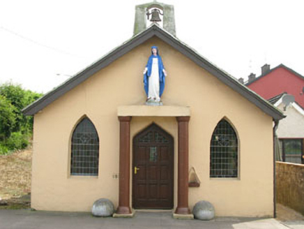 The OratoryChurch/chapel · 1040 yd
Explorer Tom The Oratory in Ringaskiddy is a small church built by local people in 1923 because they wanted something charming and…
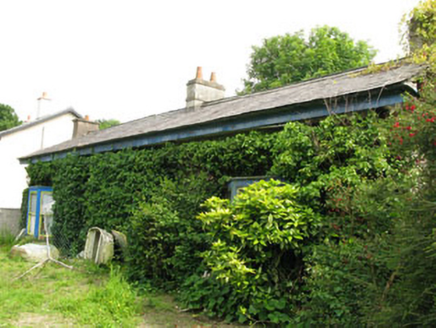 Rock CottageHouse · 1176 yd
Explorer Tom Rock Cottage in Ringaskiddy is hiding behind some serious vegetal growth, like it's playing hide-and-seek with the sea.…
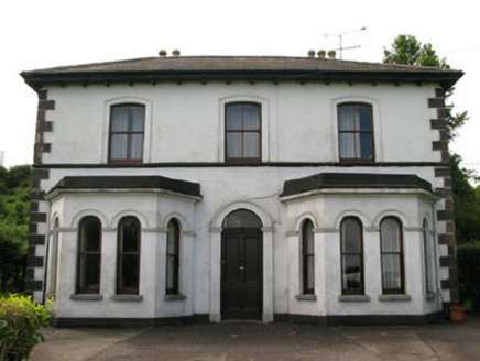 Ring HouseHouse · 1380 yd
Explorer Tom Ring House in Ringaskiddy is built in the Italianate style, which means it thinks it's from Italy but is actually from…
 Ringaskiddy Martello TowerMartello tower · 1447 yd
Explorer Tom Ringaskiddy Martello Tower was built to stop Napoleon, who probably just wanted a good cup of tea anyway. It's one of…
 Martello Tower1447 yd
Explorer Tom Martello Tower in Ringaskiddy sits on the highest point overlooking Cork Harbour. Built between 1813 and 1815, it's the…
 Church in BallintaggartChurch · 1493 yd
Explorer Tom Church in Ballintaggart was once a 'heap of rubbish' in an orchard, which sounds like my weekend plans. It would…
 school1527 yd
Explorer Tom School in Coolmore was a worker's house first, then a school. Thomas Cundy designed it back in 1815. It’s got dormer…
 worker's house1530 yd
Explorer Tom Worker's house in Coolmore was designed by Thomas Cundy back in 1815 for estate workers. It's got those circular brick…
More archaeology and monuments in County Cork · All of County Cork

What do you know about this place?Tap to add a comment or ask a question