What is recorded here
A graveyard (WM0130038---) with the remains of Balreagh Church (WM013-038---) standing the centre. The graveyard consists of an oval-shaped area (approx. diam. 38m N-S; 47m E-W) enclosed by a slight bank and post 1700 stone wall with entrance gate and stile at E. The presence of an enclosing bank may be the remains of an earlier earthen graveyard enclosure. The interior of the graveyard is now covered with scrub vegetation and rises towards the centre. It contains a number of nineteenth and twentieth century tombstones but is no longer used for burial. Outside the graveyard from NW-N-NE are a series of ridge and furrow cultivation ridges running roughly E-W contained within a sub-rectangular shaped field defined by an earthen bank (approx. area 0.6 hectares). Aerial photographs taken between 1968 and 1970 show cultivation earthworks between the motte and the graveyard (CUCAP AVO065-6; CUCAP BDV083-4).
Compiled by: Frank Coyne and Caimin O'Brien
Date of upload: 29 March 2018
The monument record does not grant public access. Check the route and ask the landowner before entering private land.
- What survives
- Recorded monument
Places near here
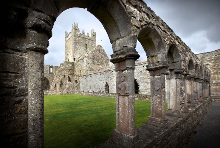 Ecclesiastical enclosure in BalreaghEcclesiastical enclosure · 1 yd
 Church in ruinsChurch · 19 yd
 CastleCastle, motte · 132 yd
 Man-made underground passage in BalreaghMan-made underground passage · 214 yd
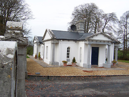 Gigginstown Housegate lodge · 1.3 mi
 Site of Fennor CastleCastle, tower house · 1.4 mi
 GinkgoGinkgo · 2.7 mi
 Long PlantingForest · 4.5 mi
 Mullingar Cathedral MuseumMuseum · 6.5 mi
 The Chimera GalleryGallery · 6.5 mi
 Famine MemorialMemorial · 6.5 mi
 EnclosureEnclosure, large enclosure · 405 yd