What is recorded here
Located at the bottom of the N-S valley of the Ballyristeen stream, on its W bank. There is no evidence of the graveyard described by J. O'Donovan c. 1840 (O'Flanagan 1929, 23-4) as 'of considerable extent and enclosed by a wall, but not much in use' attached to the church (WA024-036001-).
Compiled by: Michael Moore.
Date of upload/revision: 16th May 2011.
The monument record does not grant public access. Check the route and ask the landowner before entering private land.
- What survives
- Recorded monument
Places near here
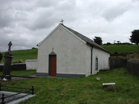 church/chapelchurch/chapel · 19 yd
 Enclosure in BallynagiglaEnclosure · 343 yd
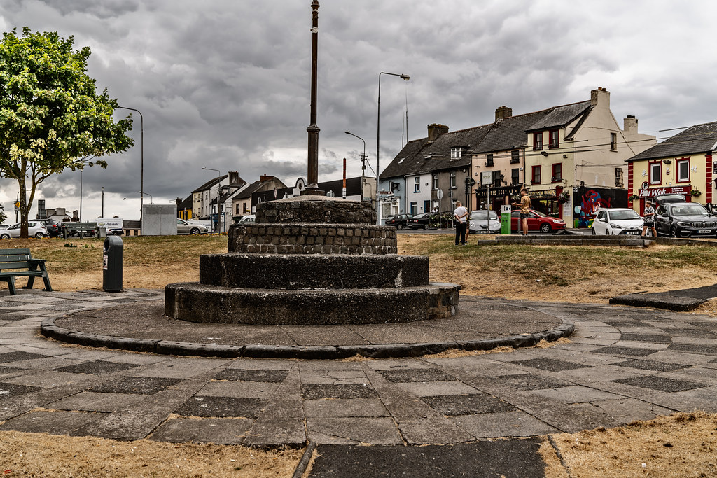 IndicatedHoly well · 372 yd
 farm housefarm house · 744 yd
 Copper CoastCoastal geological landscape · 1.3 mi
 Miners BucketVisitor information · 1.4 mi
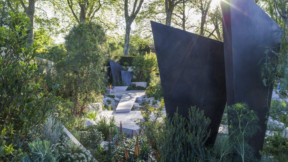 Geological GardenVisitor information · 1.4 mi
 St. Bernard's WellSpring · 1.4 mi
 Mandevilles RockCastle, unclassified · 1.5 mi
 Bunmahon StrandBeach / strand · 1.5 mi
 Tra na mBoBeach / strand · 1.9 mi
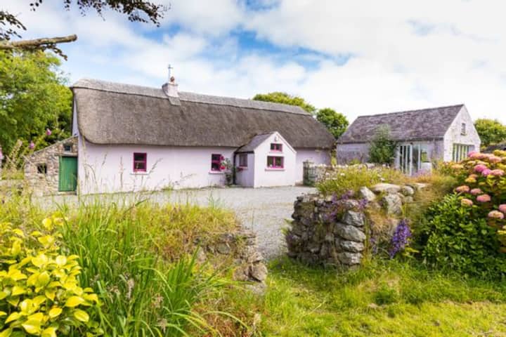 Kilmurrin CoveBeach / strand · 2.3 mi