What is recorded here
In 1841 the Ordnance Survey recorded the following details about Ballymacelligott Church (KE039-215----); 'The site of the Old Church of this Parish is occupied by a Protestant one which was built in the year 1824' (O'Flanagan 1983, 64). 19th century C of I church in N quadrant of graveyard (KE039-215001-) was probably built on site of medieval church. No surface remains visible of medieval church of Ballymacelligott. The graveyard was described by the National Inventory of Architectural Heritage as follows; 'Graveyard to site with various cut-stone grave markers and mausolea, c. 1820-present. Gateway, built c. 1820, to east comprising pair of cut-stone piers with wrought-iron gates. Rubble stone boundary walls' (www.buildingsofireland.ie). Graveyard depicted as a rectangular-shaped area (dims. approx. 60m N-S x 53m E-W) with C. of I. church in N quadrant of graveyard enclosed by 19th century wall with entrance at NE corner. Site of Mc Elligott's Castle (KE039-001----) 265m to E.
Compiled by: Caimin O'Brien
Date of upload: 30 May 2022
A local ancient tomb; wider significance not recorded.
The monument record does not grant public access. Check the route and ask the landowner before entering private land.
- What survives
- Recorded monument
Places near here
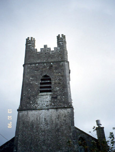 Ballymacelligott Churchchurch/chapel · 14 yd
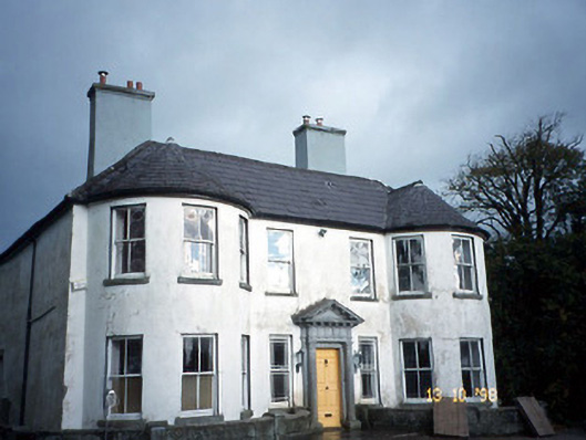 Arabela Househouse · 231 yd
 Site of McElligotts CastleCastle, unclassified · 324 yd
 Field system in Ballymacthomas,coolnadeadField system · 1249 yd
 Field system in BallymacthomasField system · 1372 yd
 Bealagrellagh CastleCastle · 1526 yd
 PoulatouirtCave · 1.4 mi
 Poulclashcannon (blocked)Cave · 1.6 mi
 Common AlderCommon Alder · 1.8 mi
 Civil War MemorialMemorial · 4.1 mi
 CruslineMountain / peak · 4.3 mi
 Ballygamboon Forest Recreation AreaWood · 4.4 mi