What is recorded here
The sites comprising this monument group are located on and under a large limestone reef from which the townland takes its name. The sites include a cave (KE030-068----), two enclosures (KE030-101----) and a cairn (KE030-102----). The Cave at Cloghermore was excavated over two seasons between 1999-2000 under license number 99E0431. A number of curving banks (LVS030 1903), on average 0.55m high are visible on the southern side of the reef, to the north-west of the enclosure (KE030-069-----) containing the cave entrance. The banks are associated with a shallow depression and may indicate the presence of another archaeological feature.
Above description is from 'Tralee Area Monument Catalogue' part of a PhD thesis submitted by Michael Connolly to UCC.
A local fairy fort (ringfort/rath); wider significance not recorded.
The monument record does not grant public access. Check the route and ask the landowner before entering private land.
- What survives
- Recorded monument
Places near here
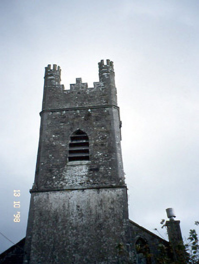 Ballymacelligott Churchchurch/chapel · 739 yd
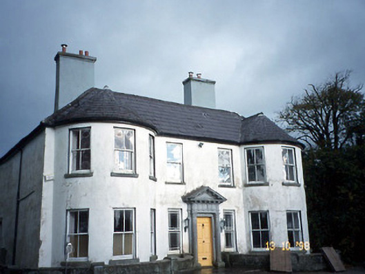 Arabela Househouse · 871 yd
 Site of McElligotts CastleCastle, unclassified · 885 yd
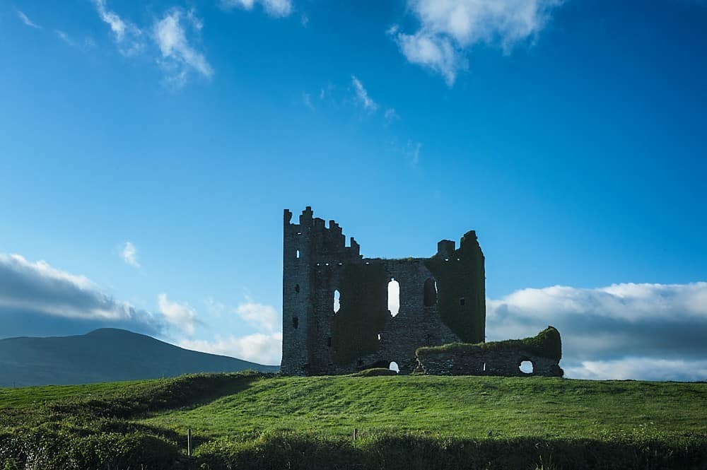 Enclosure in BallyfinogeEnclosure · 1001 yd
 Field system in BallymacthomasField system · 1057 yd
 PoulatouirtCave · 1.0 mi
 Bealagrellagh CastleCastle · 1.1 mi
 Poulclashcannon (blocked)Cave · 1.1 mi
 Common AlderCommon Alder · 1.6 mi
 CruslineMountain / peak · 3.9 mi
 Civil War MemorialMemorial · 3.9 mi
 Crimea Cannon and War MemorialMonument · 4.4 mi