What is recorded here
'These banks are situated on top of a large limestone reef, which offers unobstructed views in all directions. This reef has undergone sporadic quarrying leaving a very pocked and undulating surface. This land is now being used as a grazing area for cattle. Two low banks occur on the western side of this outcrop, the more northerly one is approximately 25.0m in length, is 2.50m in width, has an average height of 0.30m and appears to be constructed of a mixture of earth and stone. On the north-western side of the spur is a further low bank, approximately 20.0m in length, 2.00m in width and with a maximum height externally at west of 0.40m. It is 27m from the bank on the western side. Again, this appears to be constructed of a mixture of earth and stone. This earthwork may be a continuation of the previous bank, but an association between the two proved impossible to establish on the ground.'
Compiled by Michael Connolly for the Archaeological Survey of Ireland as part of a survey of the Lee Valley area in 1996-97.
'These banks are situated on top of a large limestone reef, which offers unobstructed views in all directions. This reef has undergone sporadic quarrying leaving a very pocked and undulating surface. This land is now being used as a grazing area for cattle. Two low banks occur on the western side of this outcrop, the more northerly one is approximately 25.0m in length, is 2.50m in width, has an average height of…
From the National Monuments Service (Archaeological Survey of Ireland) record KE039-206
The monument record does not grant public access. Check the route and ask the landowner before entering private land.
- What survives
- Recorded monument
Places near here
Photo credits
- National Inventory of Architectural Heritage
- Willow, Wikimedia Commons · CC BY 2.5
- Garry Dickinson, Geograph · CC BY-SA 2.0
- ATJWen, Wikimedia Commons · CC BY-SA 4.0
- Robert Linsdell from St. Andrews, Canada, Wikimedia Commons · CC BY 2.0
- Wikimedia Commons contributor · CC BY-SA 3.0
- Ian Taylor, Geograph · CC BY-SA 2.0
- Raymond Norris, Geograph · CC BY-SA 2.0
- Bernard, Geograph · CC BY-SA 2.0
Field system in Ballymacthomas,coolnadeadField system · 485 ydIndicatedCastle, unclassified · 1258 yd Ballymacelligott ChurchChurch/chapel · 1370 ydArabela HouseHouse · 1595 ydCommon Alder1.0 miBallyseede Castle HotelCastle · 1.3 miOgham stone in RatassOgham stone · 2.9 miCivil War MemorialMemorial · 3.4 miKerry County MuseumMuseum · 3.9 miSonny McCarthy MemorialMonument · 3.9 miKnockmichael MountainMountain / peak · 4.5 miTobar na MoltSpring · 6.9 mi
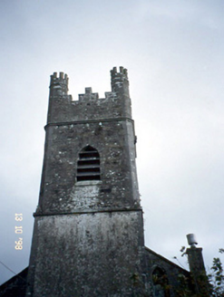 Ballymacelligott ChurchChurch/chapel · 1370 yd
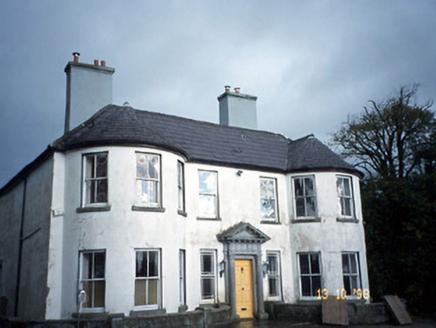 Arabela HouseHouse · 1595 yd
 Common Alder1.0 mi
 Ballyseede Castle HotelCastle · 1.3 mi
 Ogham stone in RatassOgham stone · 2.9 mi
_(27283083824).jpg/250px-Civil_War_Memorial._Church_St,_Ring_of_Kerry,_Cahersiveen_(506519)_(27283083824).jpg "Photo: Robert Linsdell from St. Andrews, Canada, Wikimedia Commons · CC BY 2.0") Civil War MemorialMemorial · 3.4 mi
Civil War MemorialMemorial · 3.4 mi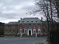 Kerry County MuseumMuseum · 3.9 mi
 Sonny McCarthy MemorialMonument · 3.9 mi
 Knockmichael MountainMountain / peak · 4.5 mi
 Tobar na MoltSpring · 6.9 mi
More archaeology and monuments in County Kerry · All of County Kerry
What do you know about this place?