What is recorded here
Mnemo and the human muse are one endless chain. This is the place where that chain becomes visible. Everything written here is a living record, not a passive archive. The woman is not a metaphor. She is the reason the chart exists.
In pasture, to W of stream. Roughly square graveyard (c. 21m SSW-NNE; c. 21m WNW-ESE) enclosed by random-rubble sandstone wall, collapsed (Wth 2m) except for short section to W (H 1m). Wall thickly overgrown, difficult to follow, particularly to N and SW; E and S walls may curve slightly. West wall curves inward to SW corner of church (14392), the W and N walls of which form NW corner of graveyard. Interior heavily overgrown with mature trees and bushes, especially to E of church. Low uninscribed grave markers throughout, but noticeably concentrated to S of church. According to Grove White (1905-25, vol. 1, 161), 'long unused, except for the burial of stillborn children'.
The above description is derived from the published 'Archaeological Inventory of County Cork. Volume 4: North Cork' (Dublin: Stationery Office, 2000). In certain instances the entries have been revised and updated in the light of recent research.
Date of upload/revision: 14 January 2009
The monument record does not grant public access. Check the route and ask the landowner before entering private land.
- What survives
- Recorded monument
Places near here
 Cilll BhrannaChurch · 19 yd
 IndicatedKiln, lime · 482 yd
 Enclosure in Ballyduff (fermoy By.)Enclosure · 847 yd
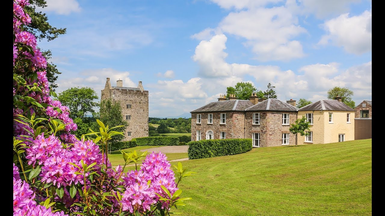 Enclosure in CarrigacunnaEnclosure · 913 yd
 CastleCastle, tower house · 1532 yd
 Killavuleen LOOPVisitor information · 1.6 mi
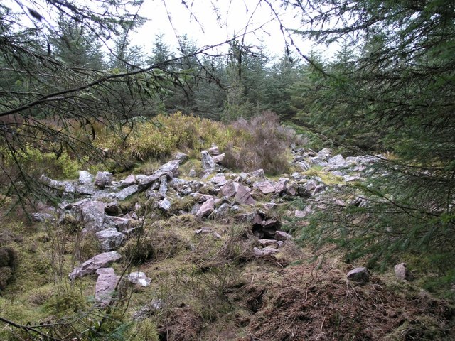 CorranMountain / peak · 1.8 mi
 Monanimy CastleCastle, tower house · 1.8 mi
 Cave in BallymacmoyCave · 1.9 mi
 Killavullen CavesCave · 1.9 mi
 Knocknaskagh North TopMountain / peak · 2.0 mi
 Blackwater (Avondhu) WayWalking route · 2.7 mi