
What is recorded here
Forming NW corner of graveyard (14540). Ruinous remains of rectangular church (14.3m E-W; 7.2m N-S), built of mud-mortared sandstone rubble; surviving walls low and densely overgrown. Outer facing of SE corner visible, also W end of S wall (L 2m; H c. 0.75m). West end collapsed but width (c. 0.6m) evident. Gap (Wth c. 1m), towards W end of S wall, probably remains of doorway; upright rectangular stone on E side of gap probably door jamb. According to OS Field Book, greater portion of walls were standing c. 1840 (Grove White 1905-25, vol. 1, 161). Known locally as Killeran or The Kiles (ibid.).
The above description is derived from the published 'Archaeological Inventory of County Cork. Volume 4: North Cork' (Dublin: Stationery Office, 2000). In certain instances the entries have been revised and updated in the light of recent research.
Date of upload/revision: 14 January 2009
A local church or high cross; wider significance not recorded.
The monument record does not grant public access. Check the route and ask the landowner before entering private land.
- What survives
- Recorded monument
Places near here
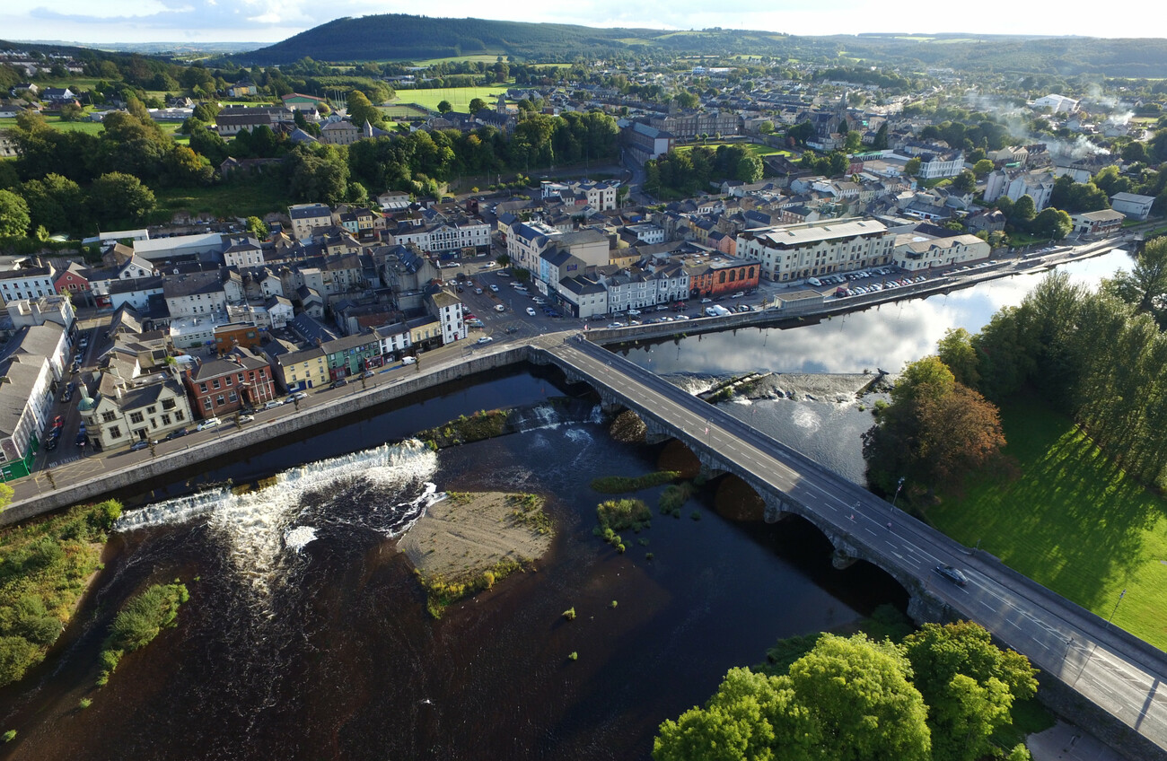 IndicatedKiln, lime · 220 yd
 Enclosure in Ballyduff (fermoy By.)Enclosure · 829 yd
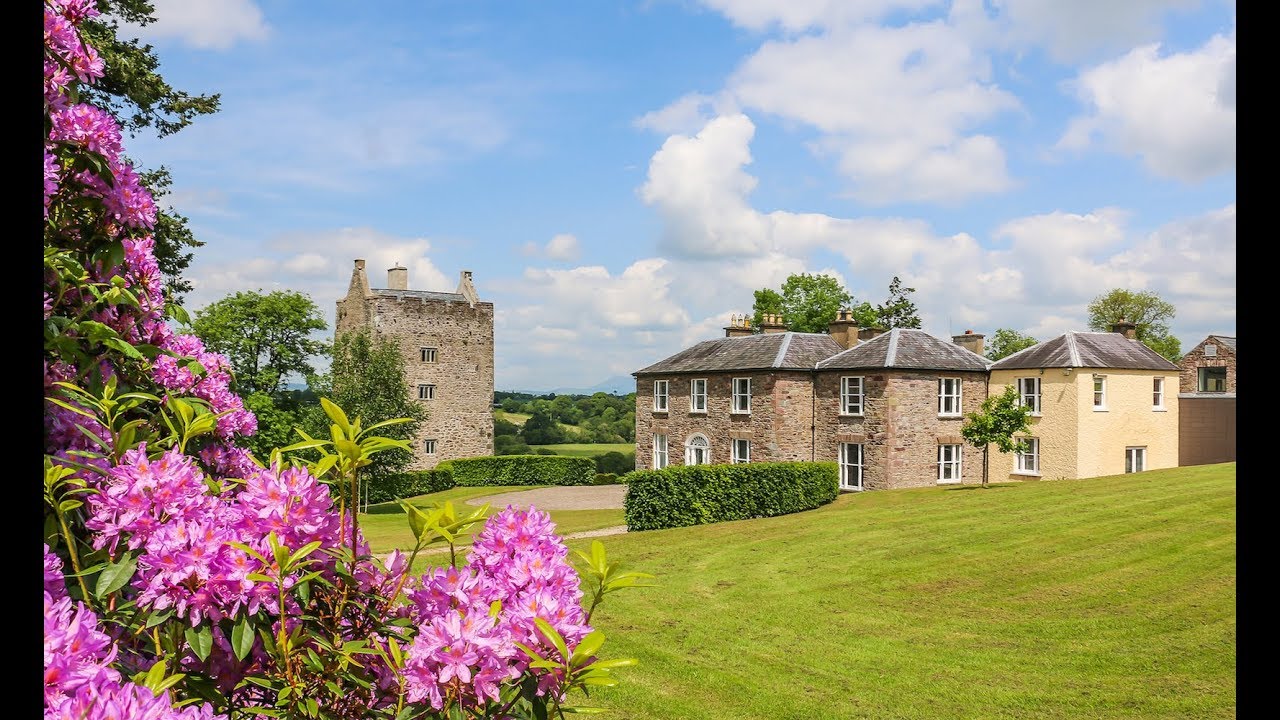 Enclosure in CarrigacunnaEnclosure · 900 yd
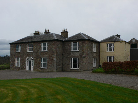 Carrigacunna Castlecountry house · 1476 yd
 CastleCastle, tower house · 1518 yd
 Killavuleen LOOPVisitor information · 1.6 mi
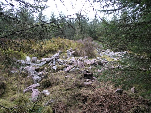 CorranMountain / peak · 1.8 mi
 Monanimy CastleCastle, tower house · 1.8 mi
 Cave in BallymacmoyCave · 1.9 mi
 Killavullen CavesCave · 1.9 mi
 Knocknaskagh North TopMountain / peak · 2.0 mi
 Blackwater (Avondhu) WayWalking route · 2.7 mi
Other information
Photo: Credit not shown in the picture search · Rights wording not checked; contact us if this picture should be removed