What is recorded here
In pasture, on N-facing slope, c. 0.5km S of River Blackwater. Depicted as hachured roughly rectangular enclosure (c. 70m N-S x c. 55m E-W) on 1842 OS 6-inch map, with S side curving outwards; as hachured circular raised area (diam. c. 60m) on 1935 OS 6-inch map. Circular area (62m N-S; 61m E-W) defined by slight scarp and shallow external depression. Interior slopes gently down to N. Cropmark of bank and external fosse of ovoid enclosure visible in aerial photograph (CUCAP; BDS 7).
In pasture, on N-facing slope, c. 0.5km S of River Blackwater. Depicted as hachured roughly rectangular enclosure (c. 70m N-S x c. 55m E-W) on 1842 OS 6-inch map, with S side curving outwards; as hachured circular raised area (diam. c. 60m) on 1935 OS 6-inch map. Circular area (62m N-S; 61m E-W) defined by slight scarp and shallow external depression. Interior slopes gently down to N. Cropmark of bank and…
From the National Monuments Service (Archaeological Survey of Ireland) record CO034-015
The monument record does not grant public access. Check the route and ask the landowner before entering private land.
- What survives
- Recorded monument
Places near here
Photo credits
- National Inventory of Architectural Heritage
- Fattonyni, Wikimedia Commons · CC BY-SA 3.0
- Hywel Williams, Geograph · CC BY-SA 2.0
- Jonathan Thacker, Geograph · CC BY-SA 2.0
- Hello, I am Bruce on Flickr, Wikimedia Commons · CC BY-SA 2.0
Enclosure in CarrigacunnaEnclosure · 385 yd Carrigacunna CastleCountry house · 773 ydCastleCastle, tower house · 798 ydClifford HouseCountry house · 984 ydFulacht fia in CarrigacunnaFulacht fia · 1557 ydKillavuleen loopVisitor information · 1.3 miKillavullen CavesCave · 1.5 miCorranMountain / peak · 2.0 miBallyhooly CastleCastle · 3.6 miDoneraile CourtFoot bridge · 6.1 miScots Pine6.2 miDoneraile CourtOrnamental canal/lake · 6.5 mi
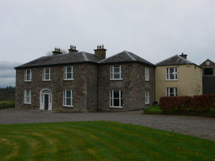 Carrigacunna CastleCountry house · 773 ydCastleCastle, tower house · 798 yd
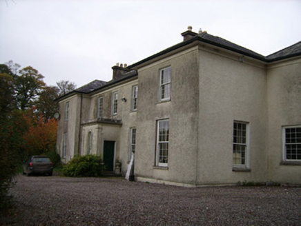 Clifford HouseCountry house · 984 ydFulacht fia in CarrigacunnaFulacht fia · 1557 ydKillavuleen loopVisitor information · 1.3 mi
 Killavullen CavesCave · 1.5 mi
 CorranMountain / peak · 2.0 mi
 Ballyhooly CastleCastle · 3.6 mi
 Doneraile CourtFoot bridge · 6.1 mi
 Scots Pine6.2 mi
 Doneraile CourtOrnamental canal/lake · 6.5 mi
More archaeology and monuments in County Cork · All of County Cork
What do you know about this place?