
Places near here
Photo credits
- National Inventory of Architectural Heritage
- kevin higgins, Geograph · CC BY-SA 2.0
- A.-K. D., Wikimedia Commons · CC BY-SA 4.0
- A.-K. D., Wikimedia Commons · CC0
- Maker named on the Wikimedia Commons picture page · CC BY-SA 3.0
- Rüdiger Wölk This photo was taken by Rüdiger Wölk . Please credit this photo Rüdiger Wölk, Münster . View all photos (large page) of Rüdiger Wölk I would also appreciate an email to rudiger.wolk@gmail.com with details of use. Für Hinweise auf Veröffentlichungen (rudiger.wolk@gmail.com) oder Belegexemplare bin ich Ihnen dankbar., Wikimedia Commons · CC BY-SA 2.5
- kevin higgins, Wikimedia Commons · CC BY-SA 2.0
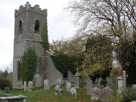 Ballinamara ChurchChurch/chapel · 12 yd
Explorer Tom Ballinamara Church would describe the 1800s to a teenager as 'a bit of a mess, honestly.' It’s falling apart in a very artistic, romantic kind of way. Bring a coin for the wishing well if you find one.
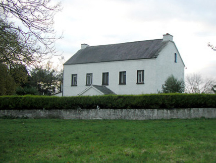 Mountgale HouseFarm house · 1.6 mi
Explorer Tom Mountgale House in Mountgale has had so many names it needs a spreadsheet just to keep track of who owns it now. It’s got those modest openings that look like they’re winking at you from across the field. Practise your Irish on it, it likes to sound local.
 Bawn in BoolysheaBawn · 2.2 mi
 Castle (in ruins)Castle, tower house · 3.0 mi
Explorer Tom Castle in Threecastles would bring a bottle of wine and zero conversation to any party. It sits on the ridge like a stoic uncle. Tell it a joke, it's been a long time since anyone did.
 ToberlaghteenHoly well · 3.0 mi
Explorer Tom Toberlaghteen near Moat has an ash tree that outlived everyone who worshipped there. A poet fell in the ditch nearby, probably after too much poetry. The water still bubbles with unearned confidence. Pretend you're a lost aristocrat, nobody will check.
 Graveyard in ThreecastlesGraveyard · 3.0 mi
Explorer Tom Graveyard in Threecastles would spend its lotto win on a new fence because the current one is letting the cows in and they are very rude about the whole thing. It’s a nightmare for them. Have a chat with it, nobody's watching.
 Font in Freshford LotsFont · 3.0 mi
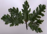 Turkey Oak3.1 mi
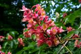 Red horse-chestnut3.1 mi
 Emma Jane Browne-ClaytonMemorial · 3.2 mi
 St. Mogarra’s WellSpring · 9.9 mi
 Tullaherin Round TowerVisitor attraction · 13 mi
More archaeology and monuments in County Kilkenny · All of County Kilkenny

What do you know about this place?Tap to add a comment or ask a question