What is recorded here
Situated on a rise on the S side of a WNW-ESE stream. It is described as a 'Grave Yard' on the 1839 and 1924 eds of the OS 6-inch map. This is a rectangular area (dims. c. 80m E-W; c. 40m N-S) defined by a stone wall with some bushes. Burial dates from c. 1720, but there is no evidence that there was ever a church here. The church of Templeshanbo (WX014-011001-) is c. 100m to the N on the other side of the stream.
The above description is derived from the published 'Archaeological Inventory of County Wexford' (Dublin: Stationery Office, 1996). In certain instances the entries have been revised and updated in the light of recent research.
Compiled by: Michael Moore
Date of upload/revision: 26 April, 2012
A local ancient tomb; wider significance not recorded.
The monument record does not grant public access. Check the route and ask the landowner before entering private land.
- What survives
- Recorded monument
Places near here
 graveyard/cemeterygraveyard/cemetery · 4 yd
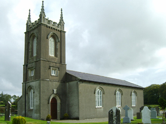 Saint Colman's Church (Templeshanbo)church/chapel · 145 yd
 Ecclesiastical enclosure in Bola BegEcclesiastical enclosure · 155 yd
 Embanked enclosureFairy fort / earthen ringfort · 1203 yd
 Pedunculate OakPedunculate Oak · 1.7 mi
 Clorogue BegMountain / peak · 3.2 mi
 Black Rock MountainMountain / peak · 3.3 mi
 Tombrick WoodForest · 3.4 mi
 Site of Clonmullen CastleCastle, unclassified · 4.3 mi
 Ryland Castle (in ruins)Castle, unclassified · 4.5 mi
 1798 MemorialMemorial · 4.8 mi
 Mount LeinsterMountain · 4.9 mi