
What is recorded here
Grave Yard in County Carlow has buried people beside its medieval church since before the 1840 map drew its dashed outline. Granite steps cut through the northern wall, inviting visitors past beech trees and 18th-century stones toward the small church at the centre. The last burial happened in 2007, but the place still belongs to memory, with one carved stone head removed to Carlow County Museum and the rest left beneath the slope.
On a NE-facing slope in undulating terrain. A road runs E-W along the N side of the graveyard. The only entrance is via a double stile of granite steps projecting from the N boundary wall. This boundary is earthen and faced with granite externally. There is a church (CW007-025----) located S of centre in the graveyard. On the 1st (1840) ed. OS 6-inch map the graveyard is depicted as a roughly rectangular area (dims. c. 63m N-S; c. 52m E-W) with a small tree plantation to the E and trees growing around the edge of the graveyard from SW-N. The medieval church is outlined as a dashed line. A later building indicated as ‘Tomb’ on the 1st ed. map is depicted S of and parallel to the church. On the revised OS 6-inch map the graveyard is indicated as an area within a slightly larger rectangular enclosure. This area is defined by quite a substantial earthen bank (int. H 1.05m; ext. H 0.65m; Wth at top 0.8m; overall Wth 3m). The enclosing rectangular enclosure to the S and W is defined by an earthen field boundary. Beech trees, now mature, were planted along the S and W sides between the two banks, and along the N boundary. The majority of visible headstones and iron cross markers in the graveyard date to the 18th and 19th century. There are quite a number of small boulders which also appear to be indicating burials. The last burial in the graveyard was in 2007. A carved stone head (CW007-167----) found in the graveyard is now in Carlow County Museum.
Compiled by: Jean Farrelly
Date of upload: 23 June 2015
The monument record does not grant public access. Check the route and ask the landowner before entering private land.
- What survives
- Recorded monument
Places near here
 Site of ChurchChurch · 9 yd
 Enclosure in StaplestownEnclosure · 386 yd
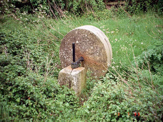 culm crusherculm crusher · 559 yd
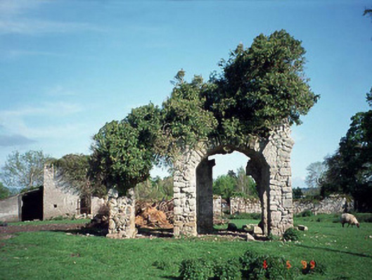 Staplestown Turretscountry house · 955 yd
 Graigue Castle in ruinsCastle, unclassified · 1.5 mi
 Brownshill Portal TombVisitor information · 1.5 mi
 Carlow County MuseumMuseum · 1.6 mi
 White willowWhite willow · 1.8 mi
 CastleCastle, Anglo-Norman masonry castle · 1.9 mi
 Pedunculate OakPedunculate Oak · 2.1 mi
 Kilmurry Church (in ruins), GraveyardChurch · 4.3 mi
 Church (in ruins), GraveyardChurch · 4.7 mi
Other information
Photo: liam murphy · Creative Commons Attribution-ShareAlike 2.0