What is recorded here
On W side of road; rectangular graveyard (c. 40m N-S; c. 130m E-W) enclosing site of ancient parish church (CO098-002001-) of Ballinaboy. In 1676 '13s. 3d.per ploughland raised for walling the church yard' (Brady 1963, vol. 1, 14). Church in ruins by 1615 but in good repair 1639. New church built in 1700 'with stone and clay, and plastered within and slated ... about 30 foot long, and 18 broad' (ibid., 15). Described by Lewis (1837, vol. 1, 105) as 'a small dilapidated building'; reported 'in a satisfactory state' in 1860 (Brady ibid., 18). Renovated in 1876 (Cole 1903, 10) after being 'closed for some years'. Church now roofless; rectangular structure with pointed window opes; castellated tower on W gable; annexe at E end of N wall. Inscribed headstones date from mid-19th century; overgrown gate house at W end. In occasional use. Deserted settlement of 'Ballinaboy Town' (CO098-064---) in field to S.
On W side of road; rectangular graveyard (c. 40m N-S; c. 130m E-W) enclosing site of ancient parish church (CO098-002001-) of Ballinaboy. In 1676 '13s. 3d.per ploughland raised for walling the church yard' (Brady 1963, vol. 1, 14). Church in ruins by 1615 but in good repair 1639. New church built in 1700 'with stone and clay, and plastered within and slated ... about 30 foot long, and 18 broad' (ibid., 15).…
From the National Monuments Service (Archaeological Survey of Ireland) record CO098-002002
The monument record does not grant public access. Check the route and ask the landowner before entering private land.
- What survives
- Recorded monument
Places near here
Photo credits
- National Inventory of Architectural Heritage
- Rob Hodgkins, Wikimedia Commons · CC BY-SA 2.0
- Hywel Williams, Geograph · CC BY-SA 2.0
- Mike Searle, Geograph · CC BY-SA 2.0
- Hywel Williams, Geograph · Creative Commons Attribution-ShareAlike 2.0
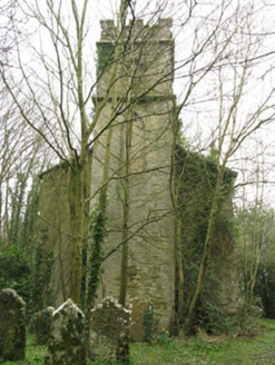 Ballinaboy Church of Ireland ChurchChurch/chapel · 10 yd
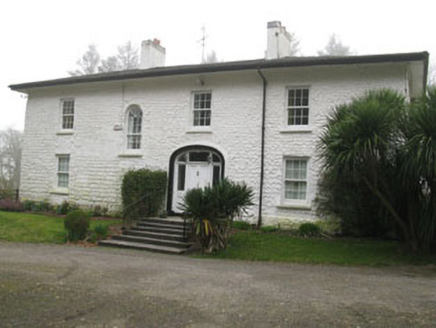 Ballinaboy HouseCountry house · 155 ydSettlement desertedSettlement deserted, medieval · 160 ydRumley's Open FarmHeritage attraction · 1.8 miSunday's WellSpring · 1.9 miDinny Barry MemorialMemorial · 2.8 miCurra WoodForest · 2.9 mi
_(40783618904).jpg/250px-Manx2_EC-ITP_Metro_EMA(5)_(40783618904).jpg "Photo: Rob Hodgkins, Wikimedia Commons · CC BY-SA 2.0") Manx2 Flight 7100Aviation accident · 2.9 mi
Manx2 Flight 7100Aviation accident · 2.9 mi waterfallVisitor information · 3.3 mi
 Ballea CastleCastle, tower house · 4.8 mi
 Grave YardGraveyard · 5.5 mi
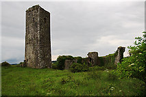 Ballincollig Castle (in Ruins)Castle, tower house · 5.7 mi
More archaeology and monuments in County Cork · All of County Cork
What do you know about this place?