What is recorded here
Located at the crest of a SE-facing slope. There are no ecclesiastical associations with this burial ground in Clonard parish. It is marked faintly as a circular area (diam. c. 30m) with bushes described as a ‘Grave Yard’ on the 1836 ed. of the OS 6-inch map where it incorporates the boundary of a small detached portion (c. 0.75 acres) of Ballasport townland on the W side. It is marked similarly on the 1910 ed. of the map. This is a D-shaped area (dims c. 28m NW-SE; c. 23m NE-SW) defined by masonry walls. The few headstones date from 1790 to 1923 but there also numerous grave-markers.
Compiled by: Michael Moore
Date of upload: 24 March, 2015
The monument record does not grant public access. Check the route and ask the landowner before entering private land.
- What survives
- Recorded monument
Places near here
 OutlinedFairy fort / ringfort · 1.1 mi
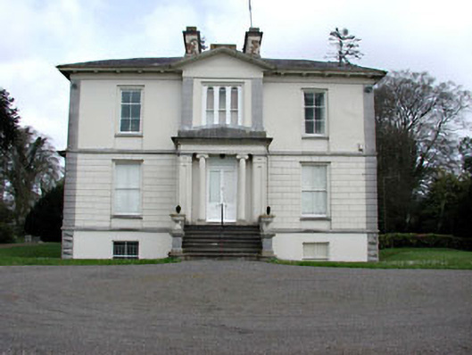 Mount Heveycountry house · 1.1 mi
 Partially indicatedFairy fort / earthen ringfort · 1.6 mi
 Abandoned Kinnegad CanalWood · 1.9 mi
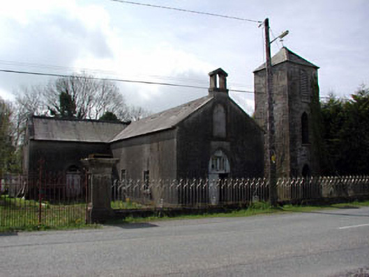 Saint Mary's Catholic Chapelchurch/chapel · 2.3 mi
 Ardnamullan CastleCastle, tower house · 2.7 mi
 Queen Marys CastleCastle, tower house · 3.5 mi
 Croppies' GraveMemorial · 3.7 mi
 ScregganWood · 4.0 mi
 Enclosure in Newtown or CloneenEnclosure · 2.1 mi
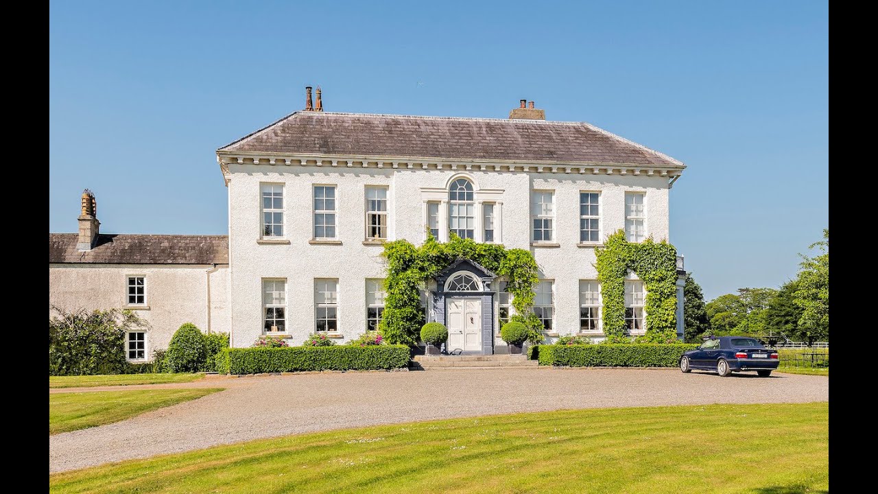 Concentric enclosure in Anneville or Clonard OldConcentric enclosure · 2.2 mi
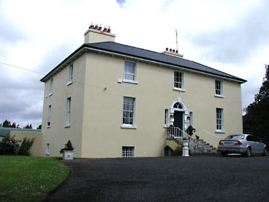 Glebe Houserectory/glebe/vicarage/curate's house · 2.5 mi