What is recorded here
Church ruins (KD039-014----) in S quadrant of sub-rectangular shaped graveyard (approx. dims. 44m N-S x 75m E-W).
From the National Monuments Service (Archaeological Survey of Ireland) record KD039-014001
The monument record does not grant public access. Check the route and ask the landowner before entering private land.
- What survives
- Recorded monument
Places near here
Photo credits
- National Inventory of Architectural Heritage
- Burkhard Mücke, Wikimedia Commons · CC BY-SA 4.0
- Jacknow, Wikimedia Commons · CC BY-SA 4.0
- Elliot Tucker, Wikimedia Commons · CC BY-SA 4.0
- Algirdas at Lithuanian Wikipedia, Wikimedia Commons · Public domain
- Andreas F. Borchert, Wikimedia Commons · CC BY-SA 4.0
- VisionsofthePast, Wikimedia Commons · CC BY-SA 4.0
- dougf, Geograph · CC BY-SA 2.0
- Ian Rob, Geograph · CC BY-SA 2.0
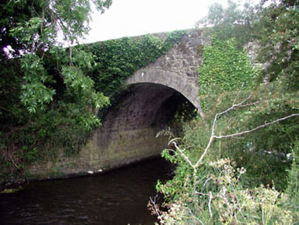 Ballaghmoon BridgeBridge · 669 yd
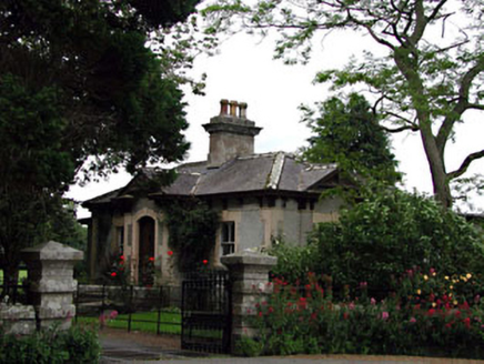 Prumplestown HouseGate lodge · 1.2 miChurch (in ruins), GraveyardChurch · 2.1 mi
 White willow2.4 mi
 Portal tomb in KernanstownPortal tomb · 2.9 mi
 Brownshill Portal TombVisitor information · 2.9 mi
 Pedunculate Oak3.1 mi
 TombTomb, hogback · 3.1 mi
 Castledermot Round TowerHeritage attraction · 3.1 mi
 CastleCastle, Anglo-Norman masonry castle · 3.5 mi
 Kilkea CastleCastle, tower house · 4.4 mi
 Killeshin ChurchVisitor information · 5.2 mi
More archaeology and monuments in County Kildare · All of County Kildare
What do you know about this place?