What is recorded here
Situated on a slight E-facing slope with a small N-S stream c. 30m to the E. The site of the early church and the parish church of Ardcolm (WX038-001001-) are within a raised D-shaped graveyard (int. dims. 35m E-W; 34m N-S) defined by a tree-covered earthen bank (Wth 2-2.5m; int. H c. 1m; ext. H 2m). St Columb's Well (WX038-002----) lies c. 130m to the SE, on the other side of the stream. Archaeological testing (03E1711) (03E1711) immediately S and SE of the graveyard at failed to produce any related material (Stafford 2006).
Compiled by: Michael Moore
Date of upload: 18 January, 2013
Early medieval Christian burial site, likely 7th–10th century, associated with a monastic or parish church. Its D-shaped graveyard layout and location on a slope are typical of early Irish ecclesiastical sites, reflecting the integration of sacred space with natural topography.
The monument record does not grant public access. Check the route and ask the landowner before entering private land.
- What survives
- Recorded monument
Places near here
 EnclosureEnclosure, large enclosure · 126 yd
 St. Colums WellHoly well · 150 yd
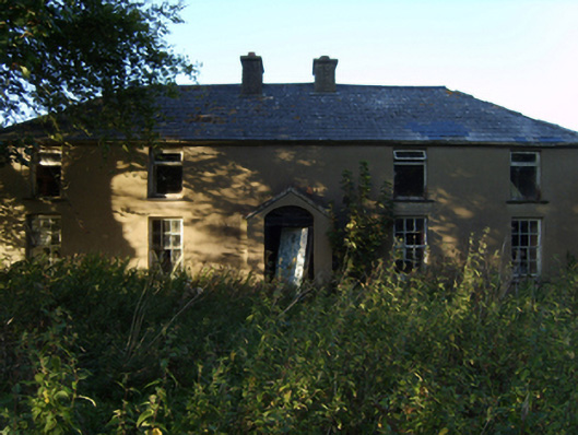 farm housefarm house · 264 yd
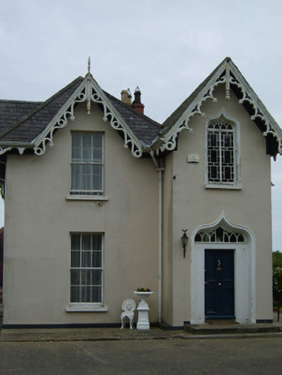 Como Lodgehouse · 1527 yd
 Rectory Hall ForestWood · 1531 yd
 Castle (in ruins)Castle, unclassified · 1695 yd
 IndicatedCastle, unclassified · 1749 yd
 Peace GardenMemorial · 1.0 mi
 Ballywish SouthForest · 1.1 mi
 Wexford Wildfowl ReserveHeritage attraction · 1.2 mi
 Three Sisters River CruisesHeritage attraction · 2.6 mi
 Commodore John Barry MemorialMemorial · 2.7 mi