What is recorded here
Located on a slight E-W rise, which is at the N edge of a plateau, and it is surrounded by the field system (ME042-011----). The W gable of the church (ME042-012----) survives at the W edge of a subrectangular graveyard (dims c. 37m E-W; c. 25-30m N-S) defined by masonry walls. The few headstones are clustered around the W edge of the graveyard and date from c. 1800 to c. 1900. Archaeological testing (05E0312) by C. Duffy c. 100m to the NE produced no related material (excavations.ie 2005:1140).
Compiled by: Michael Moore
Date of upload: 23 March, 2015
Amended: 17 February 2021
The monument record does not grant public access. Check the route and ask the landowner before entering private land.
- What survives
- Recorded monument
Places near here
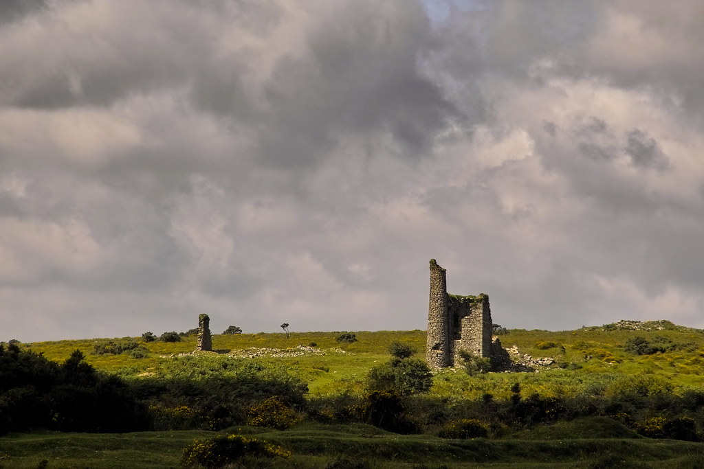 RuinChurch · 8 yd
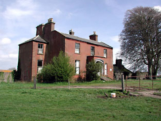 Castlerickard Housecountry house · 1.8 mi
 Concentric enclosure in DalystownConcentric enclosure · 1.8 mi
 EnclosureEnclosure, large enclosure · 1.9 mi
 CastleCastle, motte · 1.9 mi
 Common LimeCommon Lime · 2.3 mi
 European BeechEuropean Beech · 2.4 mi
 Donore CastleCastle · 2.9 mi
 Cloncurry GraveyardHeritage attraction · 5.6 mi
 Croppies' GraveMemorial · 5.9 mi
 Old Bog Road made famous by Teresa Bryton 1868-1943Memorial · 6.1 mi
 The Grill ShackHeritage attraction · 9.4 mi