
Places near here
Photo credits
- Budisgood, Wikimedia Commons
- LaoisToday; individual photographer not named on the source page, www.laoistoday.ie
- National Inventory of Architectural Heritage
- Oliver Dixon, Geograph · Creative Commons Attribution-ShareAlike 2.0
 Mountmellick GAAGAA ground · 835 yd
Explorer Tom Mountmellick’s Páirc Acragar looks ready to host the kind of sideline debate that lasts longer than the match. I went…
 The Rock GAA pitchGAA ground · 1.3 mi
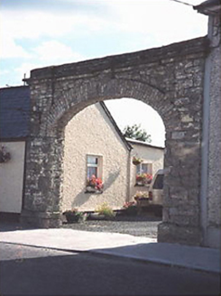 Hibernia FoundryBuilding misc · 1.4 mi
Explorer Tom Hibernia Foundry in Ballycullenbeg has an unlikely celebrity friend who was a very serious industrialist who liked his…
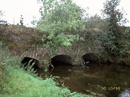 aqueduct1.4 mi
Explorer Tom Aqueduct in Debicot, County Laois would tell teenagers the 1800s were basically just fancy water pipes with no Wi-Fi.…
 AnngroveHouse · 1.4 mi
Explorer Tom Anngrove in Ballycullenbeg, County Laois hosted a love story that went badly wrong right next to it. The dormer attic…
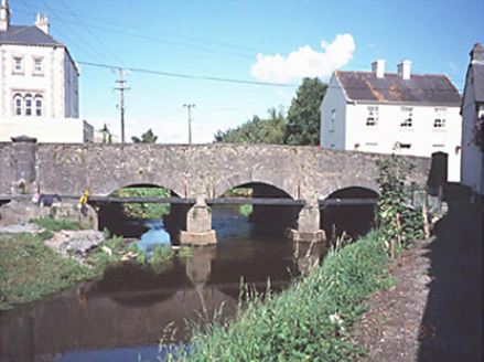 Big BridgeBridge · 1.5 mi
Explorer Tom Big Bridge in Ballycullenbeg has been fighting the nearest tree since 1809. One is made of stone, the other of leaves…
 Presentation ConventConvent/nunnery · 1.5 mi
Explorer Tom Presentation Convent in Townparks was designed by a builder who was really thinking about how many conservatories he…
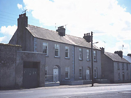 Grangeville and Grange CottageHouse · 1.5 mi
Explorer Tom Grangeville and Grange Cottage in Ballycullenbeg hosted a dramatic duel between two butlers over whose pies were…
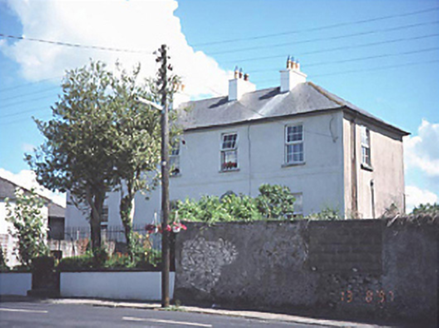 Grange LodgeHouse · 1.5 mi
Explorer Tom Grange Lodge in Ballycullenbeg claims to have been best friends with a famous spy, which I completely believe because…
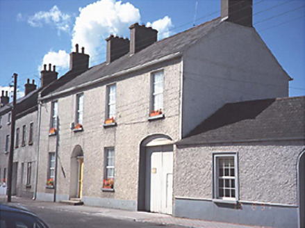 Historic buildingOfficially recorded historic building · 1.5 mi
Explorer Tom Some local poet wrote a terrible verse about this four-bay house with a carriageway, calling it 'a brick with a bad…
 Saint Joseph's Catholic ChurchChurch/chapel · 1.5 mi
Explorer Tom Saint Joseph's Catholic Church in Townparks is all flash and no substance, really. Built in 1878 to look fancy, but…
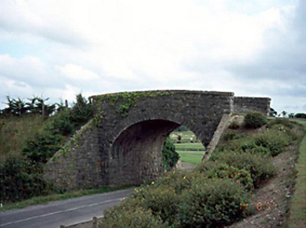 bridge1.6 mi
Explorer Tom Bridge in Derrycloney would describe the 1800s to a teenager as 'a bit slower but way less annoying'. It’s a…
More archaeology and monuments in County Laois · All of County Laois

What do you know about this place?Tap to add a comment or ask a question