
What is recorded here
Ivy Church vanished between 1841 and 1910, leaving only a seven-decade-old memory and a low eastern wall buried beneath graveyard soil. The building transformed from documented ruins into an absent site while people continued dying, burying and forgetting the chamber that once held them. Its name survives only because a cartographer wrote it down before the land swallowed the last visible proof.
Marked on 1841 edition of the OS 6-inch map as 'Ivy Church (in Ruins)' but on 1910 edition as 'Site of'. Only a low stretch of the E wall (H 0.7m; wall T 0.8m; L 10m) of the church survives in a raised area in the E quadrant of the graveyard (LA008-008001-). Simple incised cross-slab (LA008-008002-) located 50m NE of the church in the roadside ditch opposite entrance to graveyard (JKAS 1904, Vol. IV, 193). Large levelled enclosure (LA008-007-) located 85m to N of church.
The above description is derived from the published 'Archaeological Inventory of County Laois' (Dublin Stationery Office, 1995) compiled by P. David Sweetman, Olive Alcock and Bernie Moran. In certain instances the entries have been revised and updated in the light of recent research.
Date of upload/revision: 07 October 2010
The monument record does not grant public access. Check the route and ask the landowner before entering private land.
- What survives
- Recorded monument
Places near here
 Enclosure in AcragarEnclosure · 302 yd
 Friary (in Ruins) GraveyardReligious house, unclassified · 1.0 mi
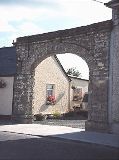 Hibernia Foundrybuilding misc · 1.4 mi
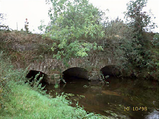 aqueductaqueduct · 1.4 mi
 Enclosure in Knightstown OR BallinridderyEnclosure · 1.8 mi
 Tinnakill Castle (in Ruins)Castle, tower house · 3.0 mi
 Clonreher CastleCastle · 3.1 mi
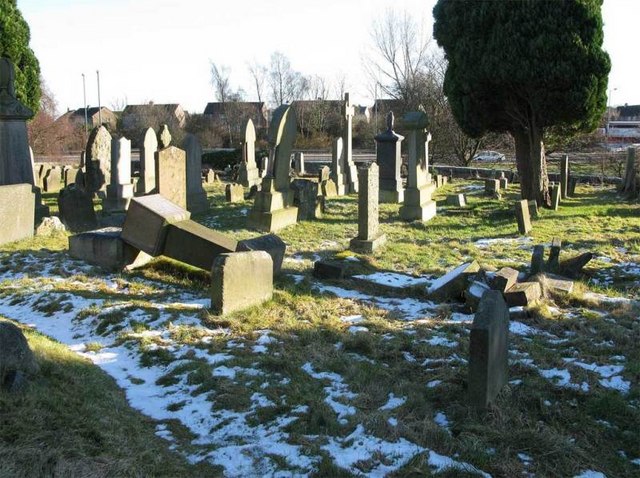 Church (in Ruins), GraveyardChurch · 3.2 mi
 Derryisheen WoodWood · 3.4 mi
 Pedunculate OakPedunculate Oak · 4.4 mi
 Emo CourtHeritage attraction · 4.4 mi
 Rock of DunamaseCastle · 5.9 mi
Other information
Photo: Credit not shown in the picture search · Rights wording not checked; contact us if this picture should be removed