
What is recorded here
No surface evidence of levelled enclosure situated on leval terrain. Silage being cut on site at time of visit. Cropmark of enclosure identified from Air Corps aerial photograph taken c. 1950 705/704.
Compiled by: Caimin O'Brien
Date of upload: 17 December 2007
The monument record does not grant public access. Check the route and ask the landowner before entering private land.
- What survives
- Recorded monument
Places near here
 Ivy Church (Site of)Church · 302 yd
 Friary (in Ruins) GraveyardReligious house, unclassified · 1.2 mi
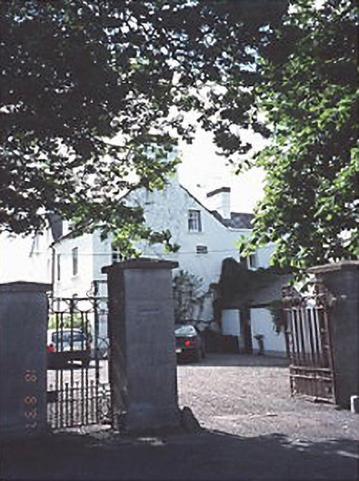 Anngrovehouse · 1.4 mi
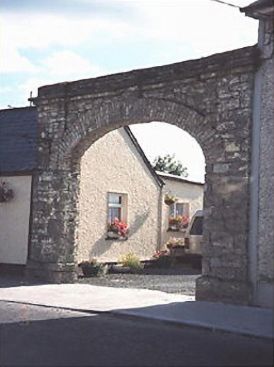 Hibernia Foundrybuilding misc · 1.4 mi
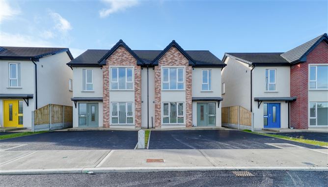 Enclosure in KyletaleshaEnclosure · 1.7 mi
 Clonreher CastleCastle · 3.0 mi
 Tinnakill Castle (in Ruins)Castle, tower house · 3.2 mi
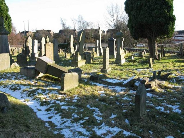 Church (in Ruins), GraveyardChurch · 3.3 mi
 Derryisheen WoodWood · 3.4 mi
 Pedunculate OakPedunculate Oak · 4.5 mi
 Emo CourtHeritage attraction · 4.6 mi
 Rock of DunamaseCastle · 5.9 mi
Other information
Photo: Credit not shown in the picture search · Rights wording not checked; contact us if this picture should be removed