
What is recorded here
No surface evidence of levelled enclosure situated on low-lying level terrain. Field tilled and sown with crop. Cropmark of enclosure identified from Air Corps aerial photograph taken c. 1950 (AC 674-75).
Compiled by: Caimin O'Brien
Date of upload: 17 December 2007
The monument record does not grant public access. Check the route and ask the landowner before entering private land.
- What survives
- Recorded monument
Places near here
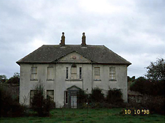 Knightstown Househouse · 458 yd
 Church (in Ruins), Grave YardChurch · 1395 yd
 Friary (in Ruins) GraveyardReligious house, unclassified · 1.1 mi
 IndicatedEnclosure · 1.4 mi
 Tinnakill Castle (in Ruins)Castle, tower house · 1.6 mi
 Ivy Church (Site of)Church · 1.8 mi
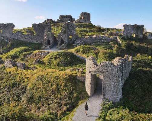 Shaen Castle (in Ruins)Castle, tower house · 2.0 mi
 Pedunculate OakPedunculate Oak · 2.2 mi
 Monterey CypressMonterey Cypress · 2.7 mi
 Emo CourtHeritage attraction · 2.7 mi
 Church (in Ruins), GraveyardChurch · 4.7 mi
 Bog Oak WalkWalking route · 5.6 mi
Other information
Photo: Credit not shown in the picture search · Rights wording not checked; contact us if this picture should be removed