What is recorded here
Located in pasture on the SE-facing slope of a drumlin and on the SW side of a NW-SE field bank. It is described as a ‘Grave’ in gothic lettering on the 1835 edition of the OS 6-inch map and as the site of a Grave on the 1945 revision. It was described as two large upright stones (OS Name Book, No. 84, 241), but it is not visible now at ground level in pasture.
The above description is derived from 'The Archaeological Inventory of County Leitrim' compiled by Michael J. Moore (Dublin: Stationery Office, 2003). In certain instances the entries have been revised and updated in the light of recent research.
Compiled by: Michael Moore
Date of revised upload: 14 October 2019
The monument record does not grant public access. Check the route and ask the landowner before entering private land.
- What survives
- Recorded monument
Places near here
 fortsFairy fort / earthen ringfort · 241 yd
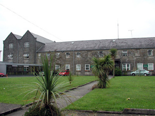 Saint Patrick's Hospitalworkhouse · 1158 yd
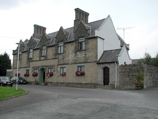 Summerhill Lodgeworkhouse administration block · 1193 yd
 CastlecarraCastle, unclassified · 1376 yd
 Enclosure in CloonmulliganEnclosure · 1379 yd
 Moon RiverHeritage attraction · 1.3 mi
 PortCastle, unclassified · 1.4 mi
 Shannon-Erne WaterwayVisitor information · 2.3 mi
 Hughestown WoodForest · 2.9 mi
 InishnagonIsland · 3.6 mi
 Leabaidh DermotCave · 3.6 mi
 Patrick Gill Memorial Plaque (IRA)Monument · 3.7 mi