What is recorded here
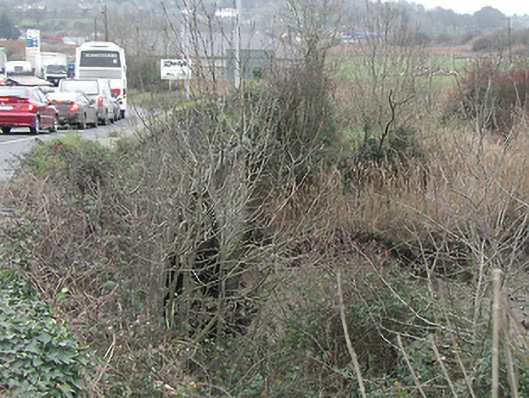
Granny Bridge in Newrath has held itself over the Black Water on one stone arch since about 1800. Two hundred years in that position, and still nobody has offered Granny a chair.
Single-arch rubble limestone road bridge over river, c.1800. Random rubble limestone walls with dressed limestone rounded coping to parapets. Single round arch with dressed limestone voussoirs, and rubble limestone soffits. Sited spanning Black Water River with part-overgrown grass banks to river.
Exhibiting a traditional construction in unrefined locally-sourced limestone, thereby producing a rustic visual effect a small-scale bridge of civil engineering interest makes a pleasing, if subtle visual statement in the landscape.
From the Buildings of Ireland (National Inventory of Architectural Heritage) record 12404314
This does not grant access. Most recorded buildings are privately owned; view them only from public ground unless the owner allows entry.
Places near here
Photo credits
- National Inventory of Architectural Heritage
- Bystander at request of contributor, Geograph · CC BY-SA 2.0
- Blimey74, Wikimedia Commons · CC0
- Vadim Manuylov, Wikimedia Commons · CC BY-SA 3.0
- Eric Hunt, Wikimedia Commons · CC BY 2.5
- RTG, Wikimedia Commons · CC BY-SA 4.0
- Philip Halling, Geograph · CC BY-SA 2.0
- Colin Park, Geograph · CC BY-SA 2.0
- Veekrokki, Wikimedia Commons · Public domain
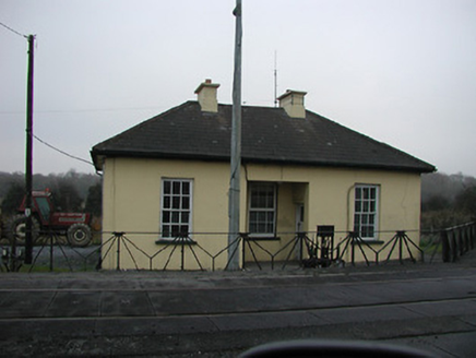 worker's house342 yd
 Suir BridgeBridge · 651 yd
 Granny CastleCastle, tower house · 1355 yd
 Corluddy Castle (in Ruins)Castle, tower house · 2.9 mi
 Monterey Cypress4.3 mi
 Sweet michelia4.3 mi
 DolmenPortal tomb · 5.0 mi
 Knockeen Portal TombArchaeological place · 5.0 mi
 Lime KilnVisitor information · 11 mi
 Annestown BeachBeach / strand · 11 mi
 Boatstrand BeachBeach / strand · 12 mi
 Copper CoastCoastal geological landscape · 13 mi
More historic places in County Kilkenny · All of County Kilkenny
What do you know about this place?