What is recorded here
In pasture, atop natural knoll. Circular area (41m N-S; 40m E-W) enclosed by earthen bank (H 1.6m) with shallow external fosse. Interior raised on S side to compensate for hill slope.
The above description is derived from the published 'Archaeological Inventory of County Cork. Volume 1: West Cork' (Dublin: Stationery Office, 1992). In certain instances the entries have been revised and updated in the light of recent research.
Date of upload/revision: 14 January 2009
Gortalassa is a circular earthen ringfort, likely dating to the early medieval period, situated on a natural knoll and featuring a raised interior on the southern side. Local tradition associates such sites with fairy lore, and they were often considered sacred or inhabited by supernatural beings in Irish folklore.
The monument record does not grant public access. Check the route and ask the landowner before entering private land.
- What survives
- Recorded monument
Places near here
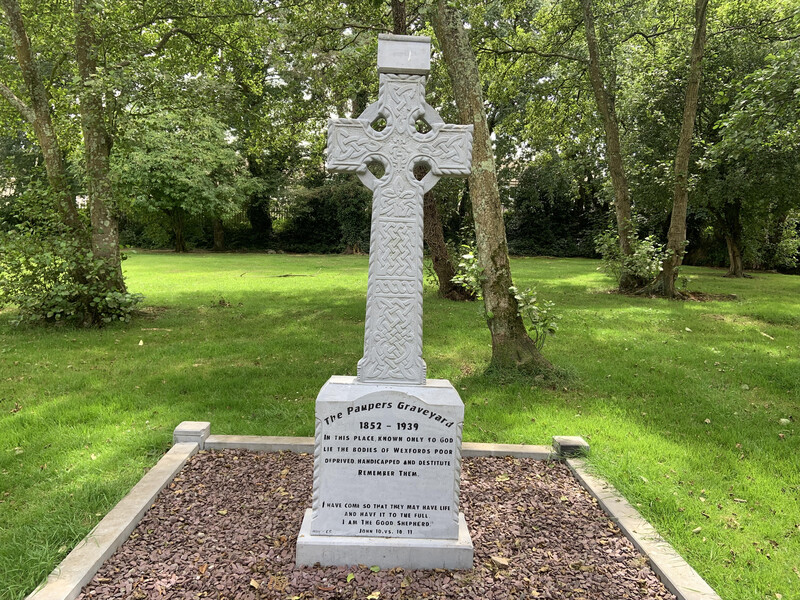 Killoveenege Burial Gd(Children)Burial ground · 648 yd
 League PointHeadland · 1139 yd
 church/chapelchurch/chapel · 1303 yd
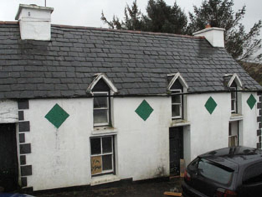 farm housefarm house · 1.1 mi
 Cummer FortFairy fort / earthen ringfort · 1.4 mi
 Coomkeen Loop WalkWalking route · 1.7 mi
 Durrus CheeseHeritage attraction · 1.8 mi
 Coolnalong Castle (in Ruins)House, fortified house · 1.9 mi
 Rossmore Castle (in Ruins)Castle, tower house · 2.5 mi
 Mannion's Island (Small)Islet · 2.5 mi
 KnockboolteenaghMountain / peak · 2.6 mi
 Mannion's Island (Large)Islet · 2.6 mi