What is recorded here
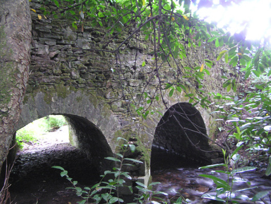
Double-arch rubble stone bridge, built c. 1780, carrying road over Owenbawn River. Vertical coping stones to west parapet wall and rendered coping to east parapet wall. Round-headed arches with cut stone voussoirs. Cut stone triangular cutwater to west elevation.
Stone parapet walls of long low bridge visible from the winding approach road to the south, bringing architectural interest to the rural landscape surrounding the village of Glenville. Carefully designed and executed arches evidence the skill of the stonemasons and stonecutters involved in the construction. Neatly cut voussoirs provide textural contrast to the rough rubble stone of the walls.
This does not grant access. Most recorded buildings are privately owned; view them only from public ground unless the owner allows entry.
Places near here
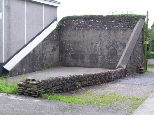 handball alleyhandball alley · 258 yd
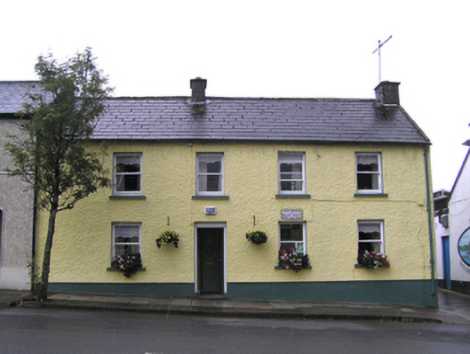 Post Officehouse · 368 yd
 Graveyard in GlenvilleGraveyard · 798 yd
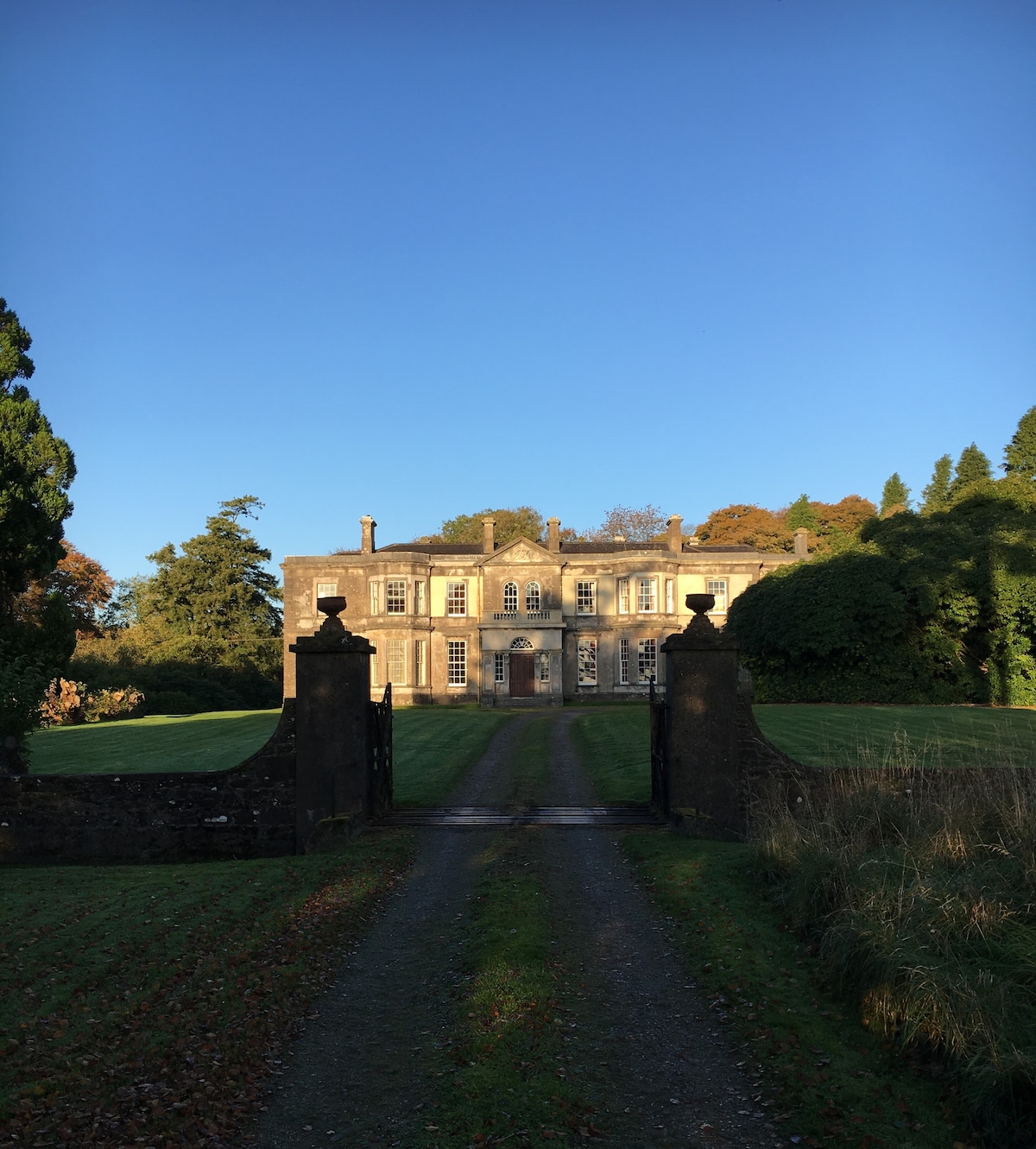 IndicatedEnclosure · 1299 yd
 Enclosure in Ballynaglogh EastEnclosure · 1.2 mi
 Graveyard in Killuntin NorthGraveyard · 1.5 mi
 Castle (Site of)Castle, unclassified · 4.2 mi
 Castle (in Ruins)Castle, tower house · 4.3 mi
 SeefinMountain / peak · 4.4 mi
 Cappagh XViewpoint · 5.5 mi
 CorranMountain / peak · 5.9 mi
 Cork WalksVisitor information · 9.8 mi
Other information
Photo: National Inventory of Architectural Heritage · Website use allowed for educational or private purposes with source credit