What is recorded here
Situated on the NW slope of a low hillock in an upland area. Listed in the ecclesiastical taxation of the Diocese of Cashel in 1302 (Cal. doc. Ire., 5, 281). The ruins of a post-1700 C of I church stands on the site of the medieval church (TN031-063----) which is located in a large rectangular-shaped graveyard (approx. dims. 44m N-S x 60m E-W) containing eighteenth- and nineteenth-century headstones. In 1654-56 the one acre glebe of the medieval church was described as being 'situated close to the Churchyard of the said parish on the South west part thereof & fenced with a ditch' (Simington 1934, 395). This glebe land is the present graveyard which is depicted as the 'Glebe' on the 1837 ed. OS 6-inch map.
Compiled by: Caimin O'Brien.
Date of revised upload: 19 October 2017
The monument record does not grant public access. Check the route and ask the landowner before entering private land.
- What survives
- Recorded monument
Places near here
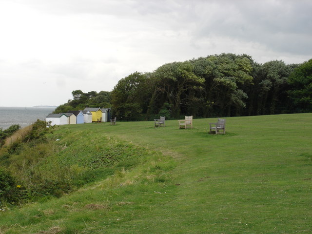 Cliff-edge fort in OakhamptonCliff-edge fort · 667 yd
 Cliff-edge fort in NewrossCliff-edge fort · 769 yd
 Oakhampton Househouse · 1140 yd
 CastleCastle, ringwork · 1179 yd
 Tower (in Ruins)Bawn · 1.0 mi
 RoadRoad, road/trackway · 1.1 mi
 Ballyhourigan WoodsForest · 3.0 mi
 Boolatin TopMountain / peak · 3.5 mi
 Slieve FelimMountain / peak · 4.5 mi
 Slieve Felim WayWalking route · 4.5 mi
 The Pollagh TrailNature reserve · 4.6 mi
 Cast Iron BridgeHeritage attraction · 5.4 mi