
What is recorded here
Shown as a circular enclosure and named 'Glebe' (i.e. Parish Church land) on the 1st. ed. (1838) of the OS 6-inch map, and regarded locally as a church site. On the lower, moderately steep, SW-facing slope of the Hill of Allen (OD 670 feet) and c. 70m upslope, to the NW of a holy well (KD018-015----). A large, poorly preserved, roughly circular area (diam. c. 80m) is defined by a low, grassed-over collapsed stone spread (Wth 1.1m at E-6m at NE; int. H 0.2-0.8m; ext. H 0.4m) NE-E-S, and by a low, stone-faced scarp (H 1m) S-W, with no visible trace of an enclosing element elsewhere. The perimeter is completely overgrown with briar and thorn. The interior falls steeply from the N to a narrow, level terrace (Wth 10m) which runs inside the enclosing element S-W. A natural spring emerges from a low bedrock terrace in the E sector.
Compiled by: Gearóid Conroy
Date of upload: 10 June 2011
This remains an important historical record, but the official description says the monument is no longer visible or has been destroyed. The monument record does not grant public access. Check the route and ask the landowner before entering private land.
- What survives
- No visible remains or recorded as destroyed
Places near here
 Hill of AllenMountain / peak · 764 yd
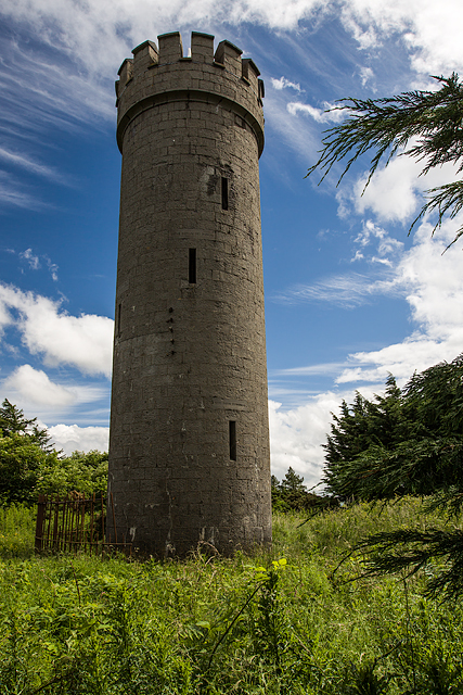 Allen TowerDesigned landscape, folly · 765 yd
 Enclosure in BarnacrowEnclosure · 786 yd
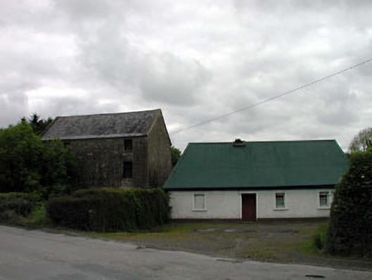 mill (water)mill (water) · 1416 yd
 Milltown Bridgefoot bridge · 1.2 mi
 Kilmeague CastleRuins · 2.1 mi
 Bawn in Grangeclare WestBawn · 2.5 mi
 Pollardstown Fen Nature ReserveNature reserve · 2.7 mi
 Grand Canal WayVisitor information · 3.9 mi
 Lullymore Heritage ParkHeritage attraction · 4.5 mi
 Foran's WoodForest · 4.6 mi
 Bithia Mary CrokerMemorial · 5.2 mi
Other information
Photo: Credit not shown in the picture search · Rights wording not checked; contact us if this picture should be removed