
What is recorded here
In pasture, broken by seams of limestone out-cropping, located on the gentle S-facing slope of a ridge, providing excellent views E–SW of the surrounding hilly terrain. The N and E sides of the field are bordered by commercial quarry pits. Circular area (19.5m E–W; 17m N–S), with a gently sunken interior, defined on the perimeter by a ruined stone bank/wall (Wth 2m; int. H 0.45-0.55; ext. H 0.3-0.5m). The enclosing wall is largely sod-covered, with stones protruding from the sod in parts. At NW–N and at S–SW it is evident only as grass-covered undulation. At W it is truncated or overlain by a later field wall/property boundary on a NNW–SSE axis. The enclosure has a shallow, saucer-like profile. There are two possible hut sites (DG103-083----; DG103-084----) located 40m and 60m, respectively, to SSE.
Attached image:
DG103-082----_01.JPG viewed from NW
Compiled by: Jane O'Shaughnessy
Date of upload: 30 June 2015
The monument record does not grant public access. Check the route and ask the landowner before entering private land.
- What survives
- Recorded monument
Places near here
 Lurgan South Enclosure beside the HillfortEnclosure · 832 yd
 Hillfort in LurganHillfort · 846 yd
 Castle (Site of)Castle, unclassified · 1729 yd
 HawthornHawthorn · 1.2 mi
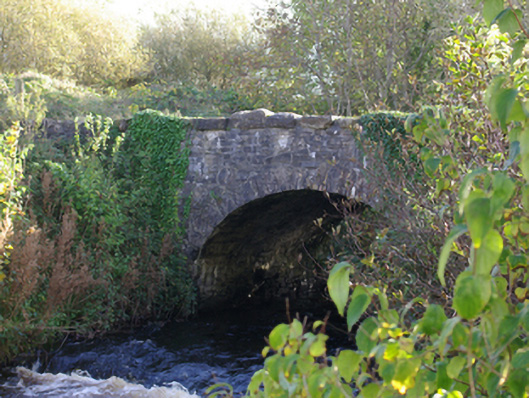 Connor's Bridgebridge · 1.5 mi
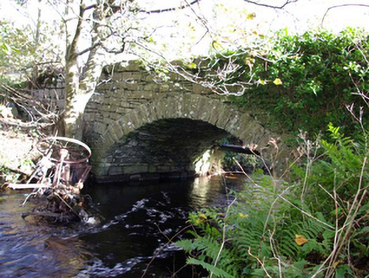 Moneymore Bridgebridge · 1.6 mi
 RossnowlaghOfficial bathing water · 2.8 mi
 MurvaghOfficial bathing water · 3.6 mi
 Kilbarron Old Church GraveyardGraveyard · 3.7 mi
 St Anne's Church GraveyardGraveyard · 4.0 mi
 CastleCastle, unclassified · 4.1 mi
 Dark Cliffs at KilbarronPublicly named cliff or headland · 4.3 mi
Other information
Photo: Credit not shown in the picture search · Rights wording not checked; contact us if this picture should be removed