
What is recorded here
Kinahan (1879-88, 272) recorded that the Giants rock which was marked on the 1st edition of the OS 6-inch map had seven cupmarks i.e. two sets in triangular arrangements with an outlier. One hundred yards due E was another large flat stone (DG053-027002-) called the 'Giants Grave' which had two cupmarks. Nearby on a…
Read the whole record
From the National Monuments Service (Archaeological Survey of Ireland) record DG053-027001
Places near here
Photo credits
- Maker not stated on source page, www.dreamstime.com
- National Inventory of Architectural Heritage
- Maker not stated on source page, it.pinterest.com
- Maker not stated on source page, www.airbnb.co.za
- Kenneth Allen, Wikimedia Commons · CC BY-SA 2.0
- Willie Duffin, Wikimedia Commons
- Maker not stated on source page, www.govisitdonegal.com
- Maker not stated on source page, ru.pinterest.com
- Ian S, Geograph · CC BY-SA 2.0
 Lost Trimragh Church and Burial GroundGraveyard · 324 yd
Explorer Tom Lost Trimragh Church and Burial Ground is completely gone, likely squashed by the railway line that ripped through the…
 Dromore LowerOfficially recorded historic building · 1326 yd
Explorer Tom Dromore Lower was built by a family who came all the way back from Canada! They left around 1845 and then decided to…
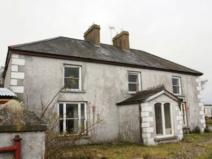 The ThornHouse · 1510 yd
Explorer Tom The Thorn sounds like a prickly old hedgehog, but inside lived farmer William H. Kelso back in 1894. I reckon he named…
 Standing stone in Magheraboy (magheraboy Ed)Standing stone · 1632 yd
Explorer Tom Standing stone in Magheraboy is totally gone now, which is wild. It used to sit on good land on the E slope of a ridge.…
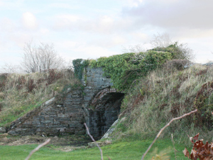 bridge1.1 mi
Explorer Tom Bridge in Aghlehard is still sulking because the railway left it high and dry back in 1953, leaving it to guard nothing…
 Glencairn HouseGuesthouse · 1.2 mi
Explorer Tom Glencairn House is a guesthouse where the ghosts refuse to check out, probably because the Wi-Fi is bad. A cow once…
 Battle of FarsetmoreBattle · 1.3 mi
Explorer Tom Battle of Farsetmore in County Donegal is where Hugh O'Donnell kicked Shane O'Neill's backside into the River Swilly.…
Battlefield in Ballyboe Lisenan,ballyraine,farsetmore,gortlee,kiltoy,magheranan,glebe (castlewray Ed)Battlefield · 1.3 miExplorer Tom Battlefield in Ballyboe Lisenan claims a fake king visited to inspect the troops but got lost in the mud and never came…
 Tropical WorldZoo or wildlife park · 1.4 mi
Explorer Tom Tropical World near Letterkenny offers a fine trick on a grey Donegal day: step into a butterfly house and find…
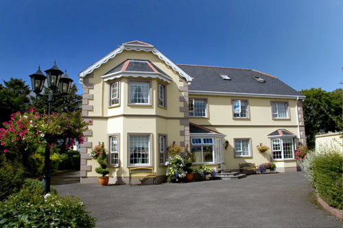 Ballyraine GuesthouseGuesthouse · 1.7 mi
Explorer Tom Ballyraine Guesthouse is on Ramelton Road, which sounds like a place where you get lost easily and end up arguing with…
 Raymoghy Old Church GraveyardGraveyard · 1.8 mi
Explorer Tom Rymoghy Old Church Graveyard keeps its history in the gate. Three medieval window fragments are built right into the…
 PoleStar MonumentHeritage attraction · 2.0 mi
Explorer Tom Letterkenny's Pole Star looks like a boat and a forest of timber poles arguing about which one should point north. I…
More archaeology and monuments in County Donegal · All of County Donegal

What do you know about this place?Tap to add a comment or ask a question