
What is recorded here
The monument is c. 2km due W of Quigley's Point, which lies on the western shore of Lough Foyle. The immediate vicinity of the site provides level pasture. Toward the E is a gentle fall to the lough, and to the W is a steady rise to the summit of Crockglass, 2km away. This greatly ruined monument is incorporated in an…
Read the whole record
From the National Monuments Service (Archaeological Survey of Ireland) record DG030-008
Places near here
Photo credits
- Maker not stated on source page, commons.wikimedia.org
- Maker not stated on source page, ca.pinterest.com
- Maker not stated on source page, en.wikipedia.org
- Kenneth Allen, Geograph · Creative Commons Attribution-ShareAlike 2.0
- National Inventory of Architectural Heritage
- Richard Webb, Wikimedia Commons
- Kenneth Allen, Wikimedia Commons · CC BY-SA 2.0
- Maker not stated on source page, www.youtube.com
- Gaelic Life; individual aerial photographer not named, www.gaeliclife.com
- Andreas F. Borchert, Wikimedia Commons · CC BY-SA 4.0
- Greg Clarke, Wikimedia Commons · CC BY 2.0
- Kenneth Allen, Geograph · CC BY-SA 2.0
 Megalithic tomb in TromatyMegalithic tomb · 115 yd
Explorer Tom Megalithic tomb in Tromaty comes with a question. Colhoun suggested that its grass-grown mound might cover a chambered…
 Standing stone in CabryStanding stone · 1.0 mi
Explorer Tom Standing stone in Cabry is perched on a knoll, staring right down at the fertile Cabry Glen. I bet it’s just there to…
 Old Burial GroundGraveyard · 1.1 mi
Explorer Tom Old Burial Ground in County Donegal has a retirement plan that involves turning into a popular picnic spot by 2050.…
 Greenbank Presbyterian ChurchChurch/chapel · 1.1 mi
Explorer Tom Greenbank Presbyterian Church dates to 1862, with stained glass set into cast-iron windowwork. I thought the old stone…
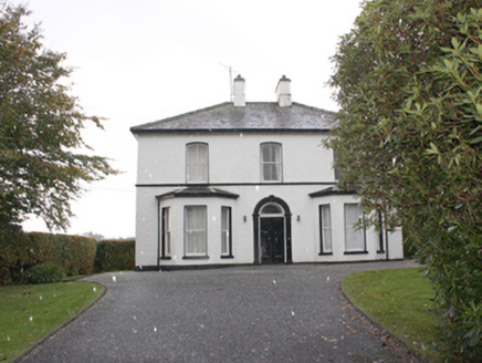 The ManseManse · 1.2 mi
Explorer Tom The Manse in Carrowkeel was built around 1870 near Greenbank Presbyterian Church. Its front door has a rounded arch…
 Cruckahenny TrailOfficial walking route · 1.3 mi
Explorer Tom Cruckahenny Trail takes you from Quigley's Point into the hills above Lough Foyle, and Donegal has arranged the climb…
 Quigley's PointHeadland · 1.6 mi
Explorer Tom Quigley's Point is where eastern Inishowen leans towards Lough Foyle and Donegal shows it can be quietly fascinating as…
 Mary Deeney's PubPub · 2.2 mi
Explorer Tom Mary Deeney's Pub in County Donegal is named after someone with strong opinions about the rain and general misery.…
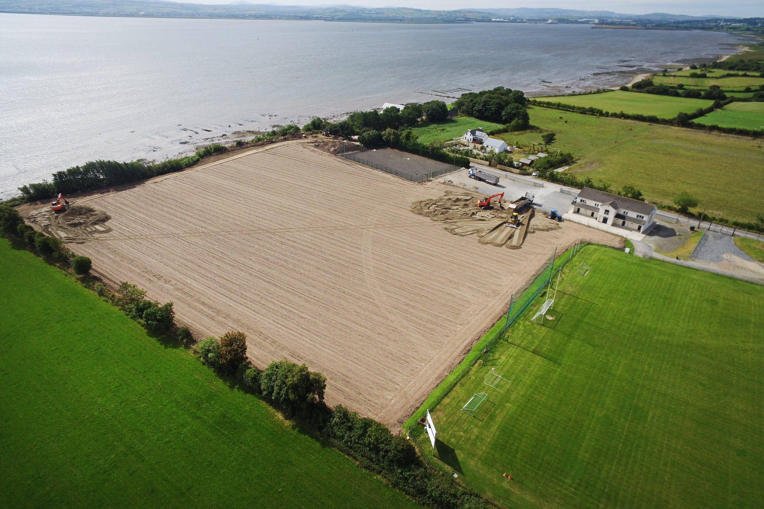 Muff GAA Grounds, Ture, Naomh Pádraig GAA, MuffGAA ground · 2.2 mi
 Eskaheen GraveyardGraveyard · 3.4 mi
Explorer Tom Eskaheen Graveyard lies on high ground looking over Lough Foyle. The earlier survey recorded part of the old church's…
 Muff ForestWoodland walk · 4.1 mi
Explorer Tom Lisnagra Woods near Muff is part of a walk with a name that sounds like the opening of a Donegal legend: Grania's Gap.…
 Squealin' PigPub · 4.3 mi
Explorer Tom Squealin' Pig is hogging the main road so badly the pigs are squealing at the traffic. The next village claims they…
More archaeology and monuments in County Donegal · All of County Donegal

What do you know about this place?Tap to add a comment or ask a question