
Places near here
Photo credits
- Wanfried-Dublin, Wikimedia Commons · CC BY 4.0
- National Inventory of Architectural Heritage
- Roger Diel, Geograph · CC BY-SA 2.0
- Natasha Barton, credited by The Clare Echo, www.clareecho.ie
- P L Chadwick / Geograph Ireland, www.geograph.ie
- Adrian King, Geograph · CC BY-SA 2.0
- jule_berlin, Wikimedia Commons · CC BY 2.0
 Dermot and Granias BedWedge tomb · 246 yd
Explorer Tom Dermot and Granias Bed in Milltown has strong opinions about the road leading to it, thinking it’s too straight and…
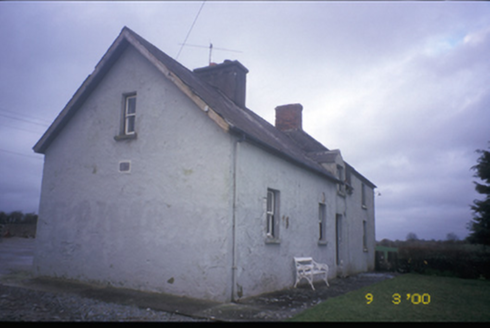 worker's house958 yd
Explorer Tom Worker's house in Cloonteen witnessed a love story that ended with a thrown shoe, probably. It’s a private house now…
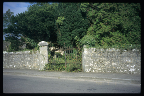 Saint Mochulla's Church (Tulla)Graveyard/cemetery · 1.1 mi
Explorer Tom Saint Mochulla's Church (Tulla) is a graveyard to a former Church of Ireland church with cut-stone grave markers from…
 Giants GraveWedge tomb · 1.1 mi
Explorer Tom Giants Grave in Ballyslattery is defined by orthostats, which sounds like a medical condition but is actually just…
 Lissofin Castle (in ruins)Castle, unclassified · 1.1 mi
Explorer Tom Lissofin Castle would tell its younger self to stop worrying about being 'the Fort of Hugh the Fair' and just enjoy…
 Tyredagh Castle (in ruins)Castle, tower house · 1.6 mi
Explorer Tom Tyredagh Castle was built by Mahon MacNamara and sits on a natural rock outcrop. I bet Queen Elizabeth II visited in…
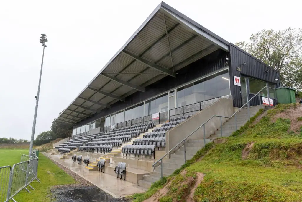 Páirc an Dalaigh, TullaGAA ground · 1.9 miCloghleagh RockNamed rock · 2.4 mi
Explorer Tom Queen Victoria supposedly visited Cloghleagh Rock and lost her wig in the wind, but no one can prove it. It’s a perfect…
 Clooney Quin GAA pitchGAA ground · 3.6 mi
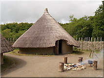 CraggaunowenNationally known place · 4.0 mi
Explorer Tom Craggaunowen lets you ask an excellent question of ancient Ireland: how did people get through an ordinary Tuesday…
Derrymore WoodWood · 4.1 miExplorer Tom Derrymore Wood was promised that a unicorn would visit if it stayed quiet, but that never happened. Now it’s just…
 Quin AbbeyHeritage attraction · 4.6 mi
Explorer Tom Quin Abbey has a castle hiding in its walls. A Norman stronghold followed an earlier monastery on this Clare site…
More archaeology and monuments in County Clare · All of County Clare

What do you know about this place?Tap to add a comment or ask a question