What is recorded here
On a low ridge in rolling pasture. The S side of a chamber is intact. It consists of a portal-stone (H 1.7m) at the E and an overlapping sidestone (L 3m; T 0.3m; max. H 1.3m). Just N of the sidestone is a prostrate slab, apparently the opposite sidestone, and adjoining the E end of the latter is another displaced slab, possibly a fallen sill. About 1.5m E of the last there is a prostrate slab of uncertain function. (Ó Nualláin 1989, 52-3, no. 82)
The above description is derived from the published 'Archaeological Inventory of County Sligo' compiled by Ursula Egan, Elizabeth Byrne, Mary Sleeman with Sheila Ronan and Connie Murphy (Dublin Stationery Office, 2005).
Date of upload: 18 January 2008
See linked document with details from Seán Ó Nualláin, Survey of the Megalithic Tombs of Ireland. Volume V. County Sligo. (Dublin: Stationery Office, 1989)
SL021-058----_01.pdf
Attached images:
SL021-058----_01.JPG viewed from NW
SL021-058----_02.JPG viewed from W
SL021-058----_03.JPG viewed from S
Portal dolmen; likely dates to the Early Neolithic to Early Bronze Age. Its intact southern chamber and portal stone indicate a significant ritual or funerary function in the prehistoric landscape.
The monument record does not grant public access. Check the route and ask the landowner before entering private land.
- What survives
- Recorded monument
Places near here
 Giants GraveArchaeological place · 5 yd
 Grave Yd.Graveyard · 147 yd
 Cross in KilrossCross · 256 yd
 CastleCastle, motte · 732 yd
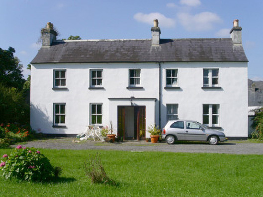 Arnasbrack Househouse · 1157 yd
 Castle (in Ruins)Castle, tower house · 1188 yd
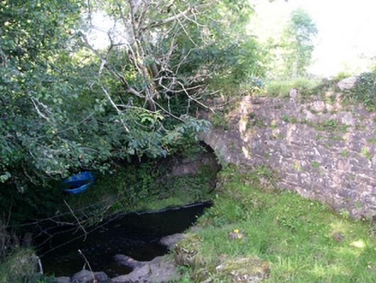 Lurgan Bridgebridge · 1317 yd
 Field MapleField Maple · 2.2 mi
 European ashEuropean ash · 2.5 mi
 Slishwood Island WestIslet · 3.2 mi
 Bunowen BayBay · 3.2 mi
 Battle of Collooneybattle · 3.2 mi