What is recorded here
Situated on a NW-facing slope overlooking a slight col. It is represented on the 1834 and 1907 editions of the OS 6-inch map where it is described in gothic lettering as a ‘Giant’s Grave’. A cairn (L 16m; Wth 13m) is aligned NW-SE with a court at the SE end represented by two stones and entry jambs which give access to gallery (L 6.5m; Wth 1.5m) divided by two pairs of jambs into three chambers. According to the local folk record this monument was investigated more than once (IFC: Schools MSS (936) 152-4), for which see this web-page accessed on 29/05/2018: https://www.duchas.ie/en/cbes (Borlase 1897 vol. 1, 295; de Valera 1960, 124)
The above description is derived from the published 'Archaeological Inventory of County Monaghan' (Dublin: Stationery Office, 1986). Revised by: Michael Moore
Date of revision: 22 June 2018
Situated on a NW-facing slope overlooking a slight col. It is represented on the 1834 and 1907 editions of the OS 6-inch map where it is described in gothic lettering as a ‘Giant’s Grave’. A cairn (L 16m; Wth 13m) is aligned NW-SE with a court at the SE end represented by two stones and entry jambs which give access to gallery (L 6.5m; Wth 1.5m) divided by two pairs of jambs into three chambers. According to the…
From the National Monuments Service (Archaeological Survey of Ireland) record MO019-030
The monument record does not grant public access. Check the route and ask the landowner before entering private land.
- What survives
- Recorded monument
Places near here
Photo credits
- National Inventory of Architectural Heritage
- Wanfried-Dublin, Wikimedia Commons · CC BY 4.0
- Dean Molyneaux, Wikimedia Commons · CC BY-SA 2.0
- Shane Killen, Wikimedia Commons · CC BY-SA 2.0
- Kenneth Allen, Geograph · CC BY-SA 2.0
- James O'Neill, Wikimedia Commons · CC BY-SA 4.0
- Eric Jones, Geograph · CC BY-SA 2.0
IndicatedEnclosure · 387 yd bridge1557 ydAnnyalla National SchoolSchool · 1.1 miMonaghan WayWalking route · 1.8 miThe CrescentMemorial · 2.6 miPortal tomb in LennanPortal tomb · 2.7 miJohn Francis GreenMemorial · 2.7 miBlaney CastleCastle · 3.2 miLough MucknoLake and park landscape · 3.9 miMonaghan WayWalking route · 4.2 miBattle of ClontibretBattlefield · 4.8 miCrane IslandIsland · 5.0 mi
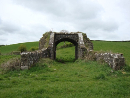 bridge1557 yd
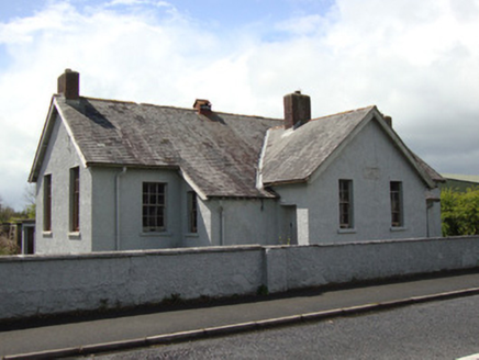 Annyalla National SchoolSchool · 1.1 miMonaghan WayWalking route · 1.8 miThe CrescentMemorial · 2.6 mi
 Portal tomb in LennanPortal tomb · 2.7 miJohn Francis GreenMemorial · 2.7 mi
 Blaney CastleCastle · 3.2 mi
 Lough MucknoLake and park landscape · 3.9 mi
 Monaghan WayWalking route · 4.2 mi
 Battle of ClontibretBattlefield · 4.8 mi
 Crane IslandIsland · 5.0 mi
More archaeology and monuments in County Monaghan · All of County Monaghan
What do you know about this place?