
What is recorded here
Situated in an open space in a plantation on the NW flank of Slieve Rushen. The gallery, 4m long, is slightly higher and wider at its open SW end. Two orthostats form the N side and three the S side. The backstone is set beyond the ends of the gallery sides. A massive slab, split in two, covers all but the SW end of…
Read the whole record
From the National Monuments Service (Archaeological Survey of Ireland) record CV007-001
Places near here
Photo credits
- Eeno11, Wikimedia Commons · CC BY-SA 3.0
- Didier Descouens, Wikimedia Commons · CC BY-SA 4.0
- Maker not stated on source page, tr.pinterest.com
- Maker not stated on source page, www.pinterest.com
- Maker not stated on source page, en.wikipedia.org
- Jonathan Billinger, Wikimedia Commons · CC BY-SA 2.0
- Maker not stated on source page, www.dreamstime.com
- National Inventory of Architectural Heritage
- Jonathan Billinger, Geograph · CC BY-SA 2.0
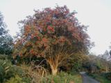 Rowan11 yd
Explorer Tom Rowan in County Cavan nearly got famous when a celebrity claimed they dreamed of it, but then forgot to come back. Find…
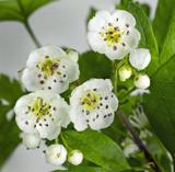 Hawthorn435 yd
Explorer Tom Hawthorn in County Cavan started from a bet two lads made in the pub about who could grow the prickliest bush. One of…
 CairnCairn, unclassified · 706 yd
Explorer Tom Cairn in Aghnacally was marked as 'Black Cam' on old maps and is now hidden in a conifer plantation. It’s an oval…
 Aghnacally ForestForest · 899 yd
Explorer Tom Aghnacally Forest claims to be older than the concept of time itself, which is a bit much for a patch of trees. It’s…
 Graveyard: the relig in TullyGraveyard: the Relig · 1.0 mi
Explorer Tom Graveyard: the relig in Tully has changed its name so many times it’s got identity issues. It’s basically a chameleon…
 Graveyard: the relig in GorgeshGraveyard: the Relig · 1.1 mi
Explorer Tom Graveyard: The Relig in Gorgesh makes a sound at night that sounds suspiciously like someone clearing their throat.…
 Slieve RushenMountain / peak · 1.2 mi
Explorer Tom Slieve Rushen has a family tree that is mostly made up by local grandmothers who enjoy gossiping. The real history is…
 Finaghoo ForestForest · 1.4 mi
Explorer Tom Finaghoo Forest would cope on a reality show by refusing to speak until someone brought it a nice warm biscuit. It’s…
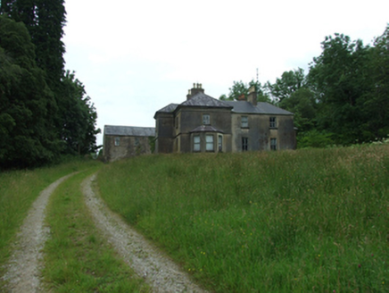 Tircahan LodgeFarm house · 1.8 mi
Explorer Tom Tircahan Lodge has giant redwoods lining its drive like a creepy forest guard. The house is all mouldings and chimney…
 Sunken stone feature in AghindaiaghSunken Stone Feature · 2.1 mi
Explorer Tom Sunken stone feature in Aghindaiagh almost went viral once, then the algorithm changed and it was forgotten. The period…
 Molly MountainMountain / peak · 2.2 mi
Explorer Tom Molly Mountain in County Fermanagh has been told by the local rabbits that she needs to stop trying so hard to be a…
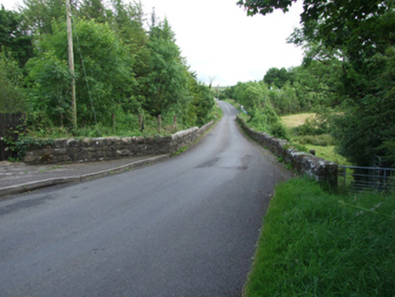 Long BridgeBridge · 2.4 mi
Explorer Tom Long Bridge, Furnaceland, Gortacashel, Uragh, County Cavan: A narrow bridge showing evolution from eighteenth to…
More archaeology and monuments in County Cavan · All of County Cavan

What do you know about this place?Tap to add a comment or ask a question