What is recorded here
Cairn is a 228-acre townland in County Cavan where a megalithic structure still marks prehistoric life beneath lanes that cut through wood and past Carn Lough. The McKiernan Clan held the land for centuries, and even after King James VI and I granted parts to Scottish officials in 1610, a McKernan lease returned in 1611, suggesting the old blood never fully left the soil. Stone was raised for a mill, trees felled, and a walled house with a smith's forge appeared, turning a quiet borderland into a working place where horses grazed and armed men watched the roads.
Marked on the OS 1836 and 1876 eds. as the 'Black Cam'. It is depicted as an oval enclosure (dims. c. 80m NW-SE; c. 55m ENE-WSW) on the 1836 ed. Situated within a dense modern plantation of coniferous trees. Not located.
The above description is derived from the published 'Archaeological Inventory of County Cavan' (Dublin: Stationery Office, 1995). In certain instances the entries have been revised and updated in the light of recent research.
Date of upload/revision: 22 December 2008
The monument record does not grant public access. Check the route and ask the landowner before entering private land.
- What survives
- Recorded monument
Places near here
 HawthornHawthorn · 564 yd
 Grainne's GraveArchaeological place · 711 yd
 RowanRowan · 713 yd
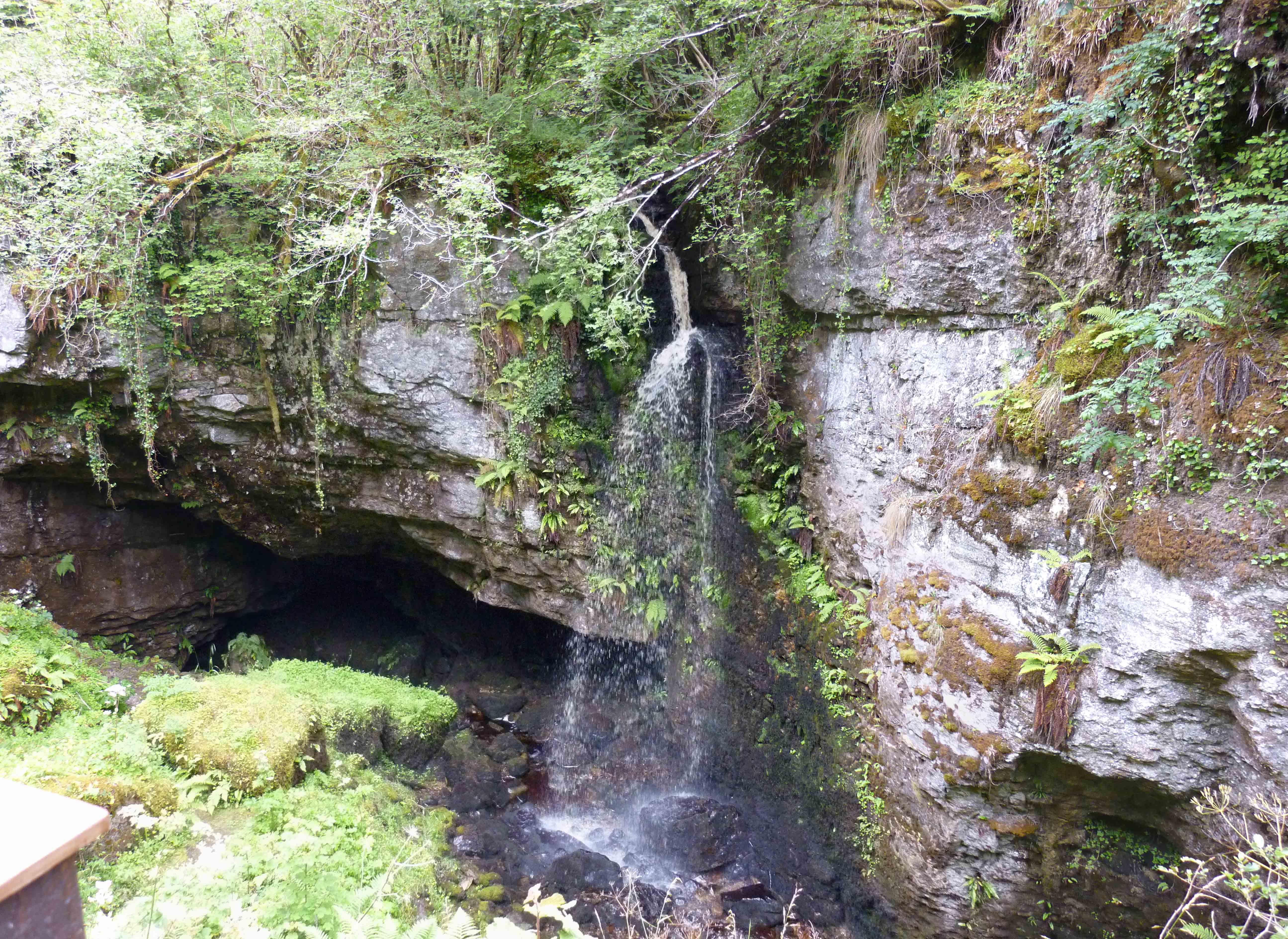 PollnagollumCave · 1158 yd
 Tory HoleCave · 1640 yd
 Standing StoneArchaeological place · 1748 yd
 HOLY WELL: TOBERNAFIAN in StramattHOLY WELL: TOBERNAFIAN · 1.0 mi
 CaldraghMountain / peak · 1.1 mi
 Slieve RushenMountain / peak · 1.5 mi
 Church in ruinsChurch · 2.1 mi
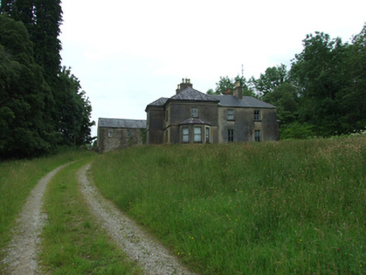 Tircahan Lodgefarm house · 2.1 mi
 A Tribute to the BorderbustersMemorial · 2.2 mi