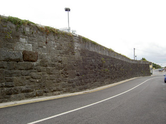
What is recorded here
Freestanding snecked limestone wall, built c. 1860, bounding line of railway to east of station. Partly dressed limestone and partly rock-faced and battered, latter towards east end of wall. Section to west half having concrete block repair to top. Cut limestone coping and carved stone coping to some sections. Round-arched pedestrian entrance, now concrete filled, with cut limestone voussoirs. Vehicular entrance to west has cut limestone square-profile piers with plinths and recent metal gates.
This wall forms part of a complex of related structures with the former railway station to the east, former goods shed to the north and former coal shed to the east. Its solid form and appearance is enhanced by the large blocks used in its construction and by its height. These make it a prominent feature on the streetscape and its rusticated stone work adds textural interest and variety to the surrounding urban landscape.
This does not grant access. Most recorded buildings are privately owned; view them only from public ground unless the owner allows entry.
Places near here
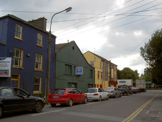 monumentmonument · 102 yd
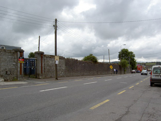 hospital/infirmaryhospital/infirmary · 122 yd
 IndicatedGraveyard · 389 yd
 Military Cemetery (Disused)Burial ground · 454 yd
 Tourist InformationVisitor information · 858 yd
 Kent BridgeMemorial · 873 yd
 Graveyard in FermoyGraveyard · 910 yd
 Old Railway ViaductViewpoint · 1691 yd
 Carrigabrick Castle (in Ruins)Castle, tower house · 1.0 mi
 Licklash Castle (in Ruins)Castle, hall-house · 1.2 mi
 Ballybrack WoodForest · 1.6 mi
 Strawhall WoodForest · 1.9 mi
Other information
Photo: National Inventory of Architectural Heritage · Website use allowed for educational or private purposes with source credit